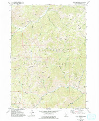
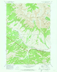
1970 Map of Boyle Mountain
USGS Topo · Published 1993About this map
Sawtooth National Forest encompasses the high mountain terrain of Blaine County as documented in this 1970 field check. The landscape is defined by significant elevations such as Bear Peak and Boyle Mountain, where the drainage patterns of Warm Springs Creek and Baker Creek create a complex network of gulches and canyons. The presence of several Prospects near Boyle Canyon indicates the area's history of mineral exploration, a common thread in Idaho's mountain development. Outdoor recreation and land management are visible through the East Fork Baker Creek Campground and an extensive system of wilderness paths, including the Alden Gulch Trail, Pack Trail, and Warfield Trail. This survey captures the remote character of the region before modern digital mapping, preserving the locations of specific backcountry landmarks like Castle Rock BM 6637 and Fox Peak.
Find a feature on this map
23 named features on this map. Tap any name to fly to it.
Don’t see what you’re looking for? This feature index may not catch every label — zoom into the map to look around manually.
Map Details
Editions of this 1970 Boyle Mountain Map
2 editions found
Other maps of this area

1895 · Hailey
USGS Topo · 1:125,000

1897 · Hailey
USGS Topo · 1:125,000

1900 · Sawtooth
USGS Topo · 1:125,000

1955 · Hailey
USGS Topo · 1:250,000

1959 · Hailey
USGS Topo · 1:250,000

1962 · Hailey
USGS Topo · 1:250,000

1967 · Mahoney Butte
USGS Topo · 1:24,000
1967 · Griffin Butte
USGS Topo · 1:24,000
1967 · Amber Lakes
USGS Topo · 1:24,000
1970 · Easley Hot Springs
USGS Topo · 1:24,000