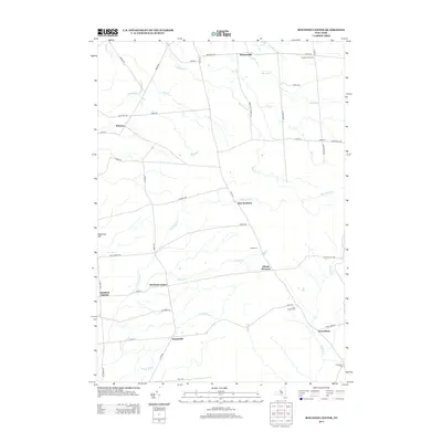
2013 Map of Boylston Center
USGS Topo · Published 2013About this map
Boylston Center and Smartville serve as central nodes in this landscape defined by a network of creeks and small crossroads. The terrain is marked by prominent elevations like Shoecraft Hill and the distinctively named Hemlock District. Several small, named settlements such as Plantz Corners, Frederick Corners, and East Boylston suggest a pattern of decentralized rural community life, often centered around family-named road junctions and local landmarks.
Find a feature on this map
53 named features on this map. Tap any name to fly to it.
Don’t see what you’re looking for? This feature index may not catch every label — zoom into the map to look around manually.
Map Details
Editions of this 2013 Boylston Center Map
This is the sole edition of this map. No revisions or reprints were ever made.
Other maps of this area

1893 · Sackets Harbor
USGS Topo · 1:62,500

1895 · Sacketts Harbor
USGS Topo · 1:62,500

1895 · Pulaski
USGS Topo · 1:62,500

1895 · Watertown
USGS Topo · 1:62,500

1898 · Watertown
USGS Topo · 1:62,500

1903 · Orwell
USGS Topo · 1:62,500

1905 · Orwell
USGS Topo · 1:62,500

1908 · Watertown
USGS Topo · 1:62,500

1909 · Watertown
USGS Topo · 1:62,500

1942 · Sandy Creek
USGS Topo · 1:24,000