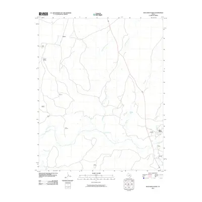
2010 Map of Boys Ranch West
USGS Topo · Published 2010About this map
The Canadian River cuts through the High Plains of Oldham County, carving a landscape defined by ranching history and the remnants of early Panhandle settlements. Near the river's bend, the site of Tascosa stands as a point of interest for genealogists and regional historians, situated near the modern Boys Ranch campus. The map documents the enduring legacy of the frontier through Boot Hill Cemetery and Muncy Cemetery, both located along the eastern edge of the quadrangle near Tascosa Creek.
Find a feature on this map
25 named features on this map. Tap any name to fly to it.
Don’t see what you’re looking for? This feature index may not catch every label — zoom into the map to look around manually.
Map Details
Editions of this 2010 Boys Ranch West Map
This is the sole edition of this map. No revisions or reprints were ever made.
Other maps of this area

1934 · Ady
USGS Topo · 1:62,500

1936 · Ady
USGS Topo · 1:62,500

1954 · Tucumcari
USGS Topo · 1:250,000

1958 · Tucumcari
USGS Topo · 1:250,000

1966 · Halfway Creek
USGS Topo · 1:24,000

1966 · Ady
USGS Topo · 1:24,000

1966 · Torrea Peak
USGS Topo · 1:24,000

1971 · Bivins Channing Ranch
USGS Topo · 1:24,000

1971 · Channing NW
USGS Topo · 1:24,000

1971 · Boys Ranch West
USGS Topo · 1:24,000