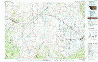
1947 Map of Bozeman
USGS Topo · Published 1948About this map
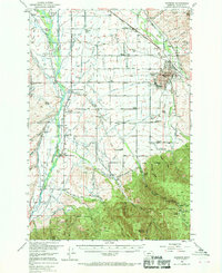
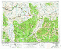
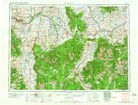
Bozeman and Livingston serve as the primary gateways to the high country in this mid-century Army Map Service compilation. The landscape is defined by the convergence of major mountain systems, including the Gallatin Range, Madison Range, and the Absaroka Range, which dominate the southern half of the sheet. Transport corridors follow the river valleys, with the Northern Pacific and the Chicago Milwaukee Saint Paul and Pacific railroads navigating the complex topography alongside early highway routes like U S 10 and Mont 191.
Find a feature on this map
164 named features on this map. Tap any name to fly to it.
Don’t see what you’re looking for? This feature index may not catch every label — zoom into the map to look around manually.
Map Details
Editions of this 1947 Bozeman Map
This is the sole edition of this map. No revisions or reprints were ever made.
Historical Maps of Prescott Ranch Through Time
9 maps found