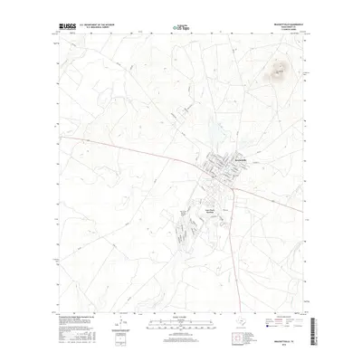
2016 Map of Brackettville
USGS Topo · Published 2016About this map
Las Moras Spring serves as a focal point for the historic landscape of Kinney County, anchoring the transition from the town of Brackettville to the residential and resort community of Fort Clark Springs. This area is defined by its deep military and frontier history, where the spring waters once supported a major frontier outpost and now flow into Las Moras Cr. To the northeast, the terrain rises toward the prominent Las Moras Mtn, a landmark overlooking a network of rural routes such as Western Trl and Guajillo Rd. The map detail includes the Fort Clark Springs Airport and the Ballantyne Cem, alongside the drainages of Elm Cr, Lindsey Cr, and Imperialist Cr. The layout reflects the evolution of the land from a 19th-century military installation to a modern community centered on the spring and its drainage system.
Find a feature on this map
62 named features on this map. Tap any name to fly to it.
Don’t see what you’re looking for? This feature index may not catch every label — zoom into the map to look around manually.
Map Details
Editions of this 2016 Brackettville Map
This is the sole edition of this map. No revisions or reprints were ever made.
Other maps of this area

1896 · Brackett
USGS Topo · 1:125,000

1897 · Brackett
USGS Topo · 1:125,000

1941 · Standart
USGS Topo · 1:62,500

1941 · Tequesquite Creek
USGS Topo · 1:62,500

1943 · Standart
USGS Topo · 1:62,500

1944 · Tequesquite Creek
USGS Topo · 1:62,500

1944 · Spofford
USGS Topo · 1:62,500

1944 · Brackettville
USGS Topo · 1:62,500

1958 · Del Rio
USGS Topo · 1:250,000

1964 · Del Rio
USGS Topo · 1:250,000