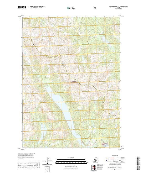
2021 Map of Bradfield Canal A-5 SW
USGS Topo · Published 2021About this map
The Tongass National Forest dominates this coastal Alaska landscape, where the maritime terrain is defined by deep inlets and a network of freshwater bodies. High-altitude glacial drainage feeds into Lake Nellie and Lake Rowena in the southwestern quadrant, while the central valley is occupied by the prominent Reflection Lake. This area marks a political boundary where the Wrangell City and Borough meets the Ketchikan Gateway Borough. Access to the interior is limited, primarily represented by the Reflection Lake Trl which skirts the southern shore of its namesake lake near Short Bay. The drainage patterns, including Hoya Cr and Eagle River, illustrate the steep descent from the surrounding peaks toward the Bradfield Canal region.
Find a feature on this map
19 named features on this map. Tap any name to fly to it.
Don’t see what you’re looking for? This feature index may not catch every label — zoom into the map to look around manually.
Map Details
Editions of this 2021 Bradfield Canal A-5 SW Map
This is the sole edition of this map. No revisions or reprints were ever made.
Other maps of this area

1951 · Bradfield Canal
USGS Topo · 1:250,000

1952 · Ketchikan
USGS Topo · 1:250,000

1952 · Ketchikan D-5
USGS Topo · 1:63,360

1952 · Ketchikan D-6
USGS Topo · 1:63,360

1953 · Ketchikan D-5
USGS Topo · 1:63,360

1953 · Ketchikan D-6
USGS Topo · 1:63,360

1954 · Bradfield Canal
USGS Topo · 1:250,000

1955 · Bradfield canal A-6
USGS Topo · 1:63,360

1955 · Bradfield Canal A-5
USGS Topo · 1:63,360

1955 · Ketchikan
USGS Topo · 1:250,000