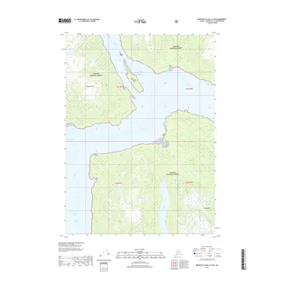
2017 Map of Bradfield Canal A-6 NW
USGS Topo · Published 2017About this map
Wrangell and the surrounding coastline of Southeast Alaska are documented in this 2017 survey, where the waters of the Gulf of Alaska meet the dense wilderness of the Tongass National Forest. The map centers on the waterway of Blake Channel, which separates Wrangell Island from the mainland, and traces the shoreline south past Point Warde into Ernest Sound. One of the most prominent terrestrial features is the Anan Creek Trail, which provides access to Anan Bay and the interior Anan Lake. This area is characterized by steep coastal elevations and complex hydrography, including the E Fork Anan Cr and Marten Cr. The absence of a major road network highlights the maritime nature of the region, where connectivity is defined by the channels and sounds that weave between islands like Blake Island.
Find a feature on this map
18 named features on this map. Tap any name to fly to it.
Don’t see what you’re looking for? This feature index may not catch every label — zoom into the map to look around manually.
Map Details
Editions of this 2017 Bradfield Canal A-6 NW Map
This is the sole edition of this map. No revisions or reprints were ever made.
Other maps of this area

1948 · Petersburg A-1
USGS Topo · 1:63,360

1948 · Petersburg B-1
USGS Topo · 1:63,360

1951 · Bradfield Canal
USGS Topo · 1:250,000

1951 · Petersburg A-1
USGS Topo · 1:63,360

1952 · Petersburg
USGS Topo · 1:250,000

1954 · Bradfield Canal
USGS Topo · 1:250,000

1955 · Bradfield canal A-6
USGS Topo · 1:63,360

1955 · Bradfield canal B-6
USGS Topo · 1:63,360

1955 · Petersburg B-1
USGS Topo · 1:63,360

1955 · Bradfield Canal
USGS Topo · 1:250,000