
1955 Map of Bradfield canal B-6
USGS Topo · Published 1959About this map
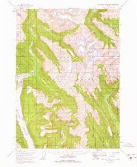
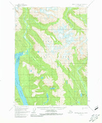
Tongass National Forest dominates this mid-century survey of the Alaska panhandle, revealing a complex network of glacial valleys and saltwater passages. The map centers on the steep drainage basins of Aaron Creek and the Harding River, illustrating the rugged coastal interior just east of Wrangell Island. Navigation and access are defined by Blake Channel, where landforms like Capel Pt mark the transition from maritime waters to the mountainous mainland. Inland, a series of isolated freshwater bodies including Marten Lake, Upper Marten Lake, and Tom Lake are tucked into high-elevation basins, fed by the melting ice of Nelson Glacier and numerous unnamed snowfields. This 1950s record provides a clear view of the natural hydrology and topography before any significant modernization or infrastructure altered the wilderness character of the region.
Find a feature on this map
17 named features on this map. Tap any name to fly to it.
Don’t see what you’re looking for? This feature index may not catch every label — zoom into the map to look around manually.
Map Details
Editions of this 1955 Bradfield canal B-6 Map
3 editions found
Other maps of this area

1948 · Petersburg A-1
USGS Topo · 1:63,360

1948 · Petersburg C-1
USGS Topo · 1:63,360

1948 · Petersburg B-1
USGS Topo · 1:63,360

1951 · Bradfield Canal
USGS Topo · 1:250,000

1951 · Petersburg A-1
USGS Topo · 1:63,360

1952 · Petersburg
USGS Topo · 1:250,000

1953 · Petersburg C-1
USGS Topo · 1:63,360

1954 · Bradfield Canal
USGS Topo · 1:250,000

1955 · Bradfield canal A-6
USGS Topo · 1:63,360

1955 · Bradfield canal B-5
USGS Topo · 1:63,360