
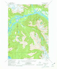
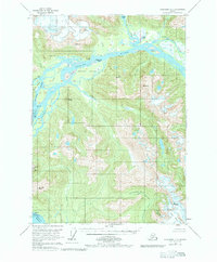
1953 Map of Petersburg C-1
USGS Topo · Published 1964About this map
Chief Shakes Hot Springs serves as a distinct landmark on this 1950s survey, situated where the Stikine River begins to divide into a complex network of channels and sloughs. This particular stretch of the Alaskan coast reveals a landscape defined by glacial activity and shifting silts, most notably seen at Popof Glacier and the large sandy expanse of The Desert on Andrew Island. Unlike the heavily forested slopes nearby, these tidal and glacial features reflect the dynamic nature of the delta environment.
Find a feature on this map
42 named features on this map. Tap any name to fly to it.
Don’t see what you’re looking for? This feature index may not catch every label — zoom into the map to look around manually.
Map Details
Editions of this 1953 Petersburg C-1 Map
3 editions found
Other maps of this area

1948 · Petersburg C-1
USGS Topo · 1:63,360

1948 · Petersburg C-2
USGS Topo · 1:63,360

1948 · Petersburg B-2
USGS Topo · 1:63,360

1948 · Petersburg B-1
USGS Topo · 1:63,360

1951 · Bradfield Canal
USGS Topo · 1:250,000

1951 · Petersburg C-2
USGS Topo · 1:63,360

1952 · Petersburg
USGS Topo · 1:250,000

1953 · Petersburg B-2
USGS Topo · 1:63,360

1954 · Bradfield Canal
USGS Topo · 1:250,000

1955 · Bradfield canal D-6
USGS Topo · 1:63,360