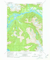
1953 Map of Petersburg C-1
USGS Topo · Published 1981About this map
The Stikine River dominates this mid-century coastal landscape, branching into a complex network of sloughs and islands as it meets the sea. The 1953 field data reveals a dynamic environment where the river splits around Fifteenmile Island and Andrew Island, forming the distinctive The Desert and the Cottonwood Islands. To the north, the Popof Glacier and Shakes Lake illustrate the glacial forces shaping the mainland, while the southern reaches are defined by high-elevation landmarks like Wrangell Peak and Garnet Mtn.
Find a feature on this map
40 named features on this map. Tap any name to fly to it.
Don’t see what you’re looking for? This feature index may not catch every label — zoom into the map to look around manually.
Map Details
Editions of this 1953 Petersburg C-1 Map
3 editions found
Other maps of this area

1948 · Petersburg C-1
USGS Topo · 1:63,360

1948 · Petersburg C-2
USGS Topo · 1:63,360

1948 · Petersburg B-2
USGS Topo · 1:63,360

1948 · Petersburg B-1
USGS Topo · 1:63,360

1951 · Bradfield Canal
USGS Topo · 1:250,000

1951 · Petersburg C-2
USGS Topo · 1:63,360

1952 · Petersburg
USGS Topo · 1:250,000

1953 · Petersburg C-1
USGS Topo · 1:63,360

1953 · Petersburg B-2
USGS Topo · 1:63,360

1954 · Bradfield Canal
USGS Topo · 1:250,000