
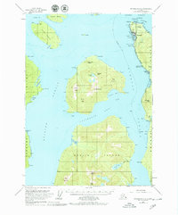
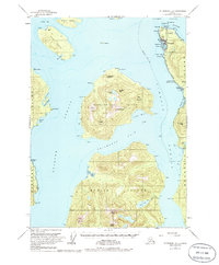
1953 Map of Petersburg B-2
USGS Topo · Published 1964About this map
Wrangell serves as the focal point of this coastal survey, where the town is defined by its Townsite Boundary and the adjacent maritime facilities at Pt Shekesti. The settlement patterns of the early 1950s are evident in the proximity of the Wrangell Institute and the essential infrastructure of the Seaplane Base and Seaplane Ramp. Navigation through the intricate waterways is guided by landmarks such as Cemetery Pt and the geodetic markers of Ft Wrangell N Base and Ft Wrangell S Base.
Find a feature on this map
61 named features on this map. Tap any name to fly to it.
Don’t see what you’re looking for? This feature index may not catch every label — zoom into the map to look around manually.
Map Details
Editions of this 1953 Petersburg B-2 Map
3 editions found
Other maps of this area

1948 · Petersburg A-1
USGS Topo · 1:63,360

1948 · Petersburg A-2
USGS Topo · 1:63,360

1948 · Petersburg C-1
USGS Topo · 1:63,360

1948 · Petersburg C-2
USGS Topo · 1:63,360

1948 · Petersburg B-2
USGS Topo · 1:63,360

1948 · Petersburg B-1
USGS Topo · 1:63,360

1948 · Petersburg C-3
USGS Topo · 1:63,360

1948 · Petersburg B-3
USGS Topo · 1:63,360

1949 · Petersburg A-3
USGS Topo · 1:63,360

1951 · Petersburg B-3
USGS Topo · 1:63,360