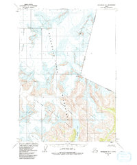
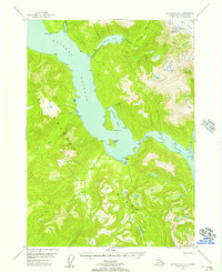
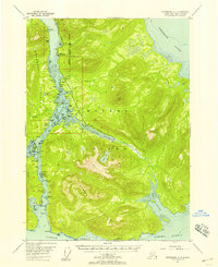
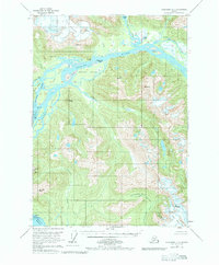
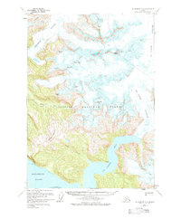
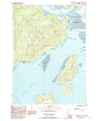
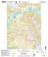
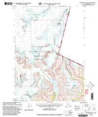
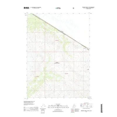
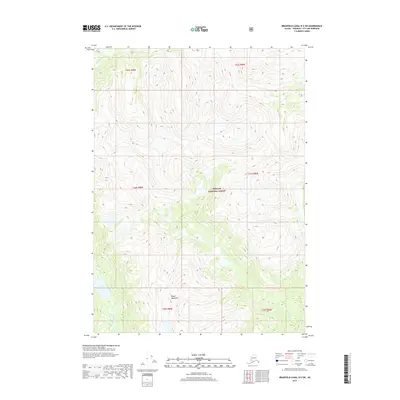
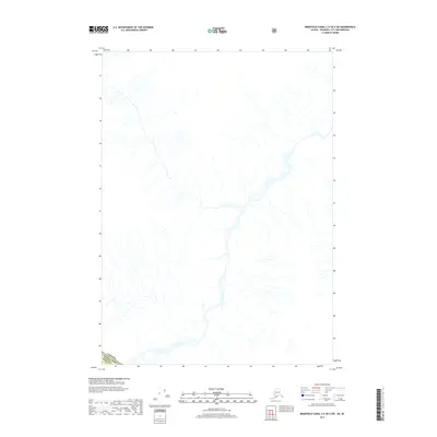
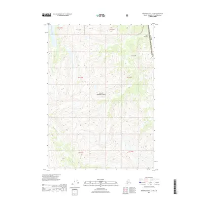
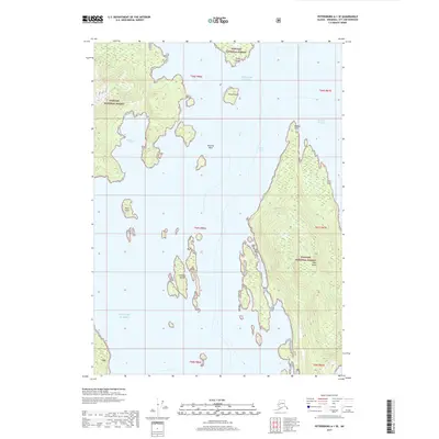
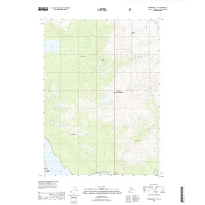
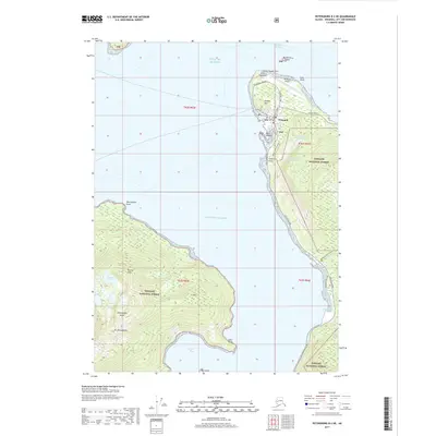
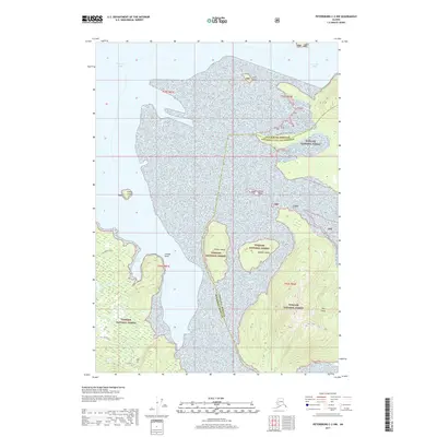
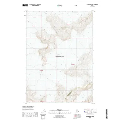
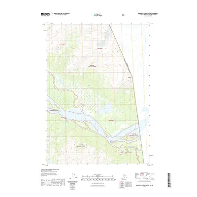
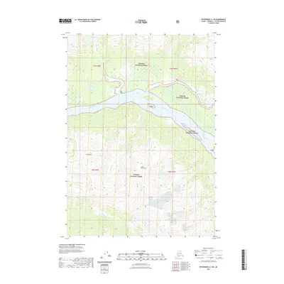
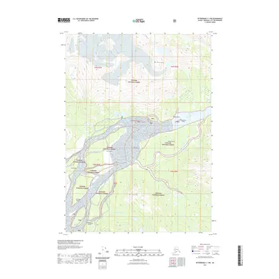
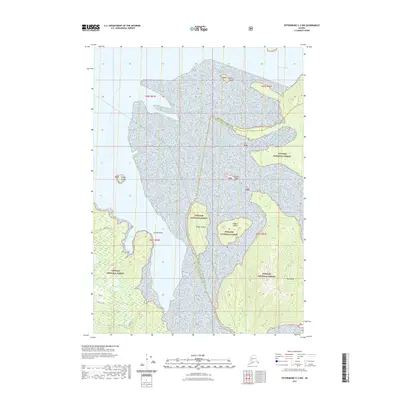
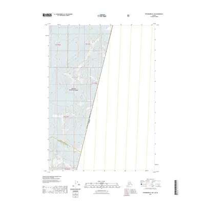
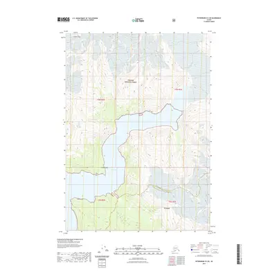
1961 Map of Petersburg D-1
USGS Topo · Published 1992About this map
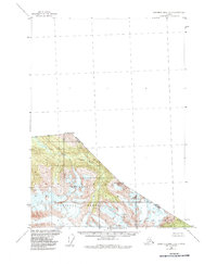
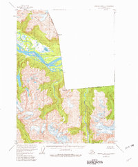
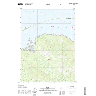
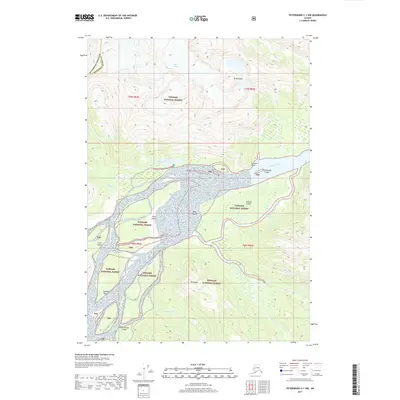
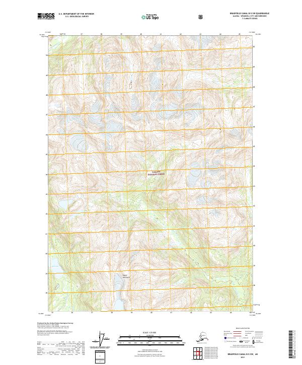
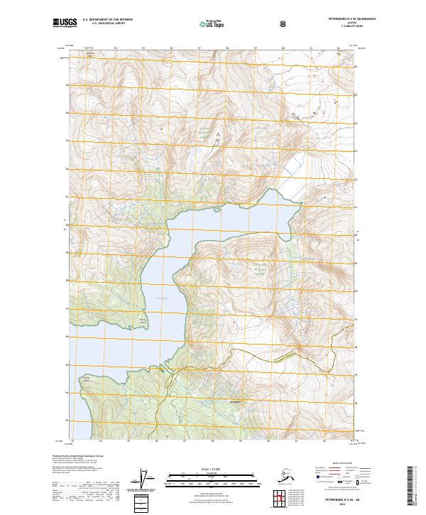
Le Conte Glacier dominates this 1961 topographic study of the Alaskan wilderness near the Canadian border. The map documents a dramatic glacial landscape within the Tongass National Forest, where the immense ice flows of Shakes Glacier and the Popof Glacier carve through the coastal range. The international boundary between the United States and Canada is precisely delineated, passing through high-altitude landmarks such as Boundary Peak 69 and Mount Pratt.
Find a feature on this map
13 named features on this map. Tap any name to fly to it.
Don’t see what you’re looking for? This feature index may not catch every label — zoom into the map to look around manually.
Map Details
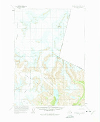
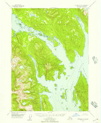
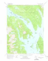
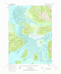
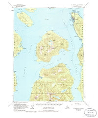
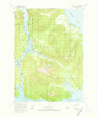
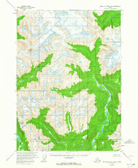
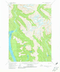
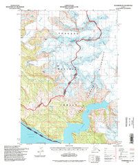
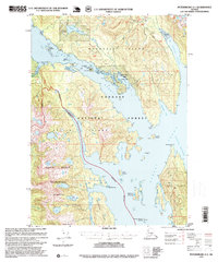
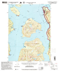
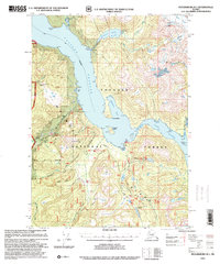
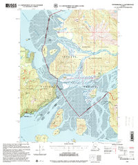
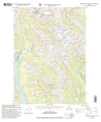
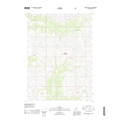
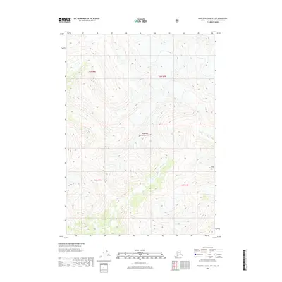
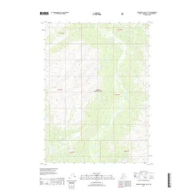
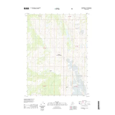
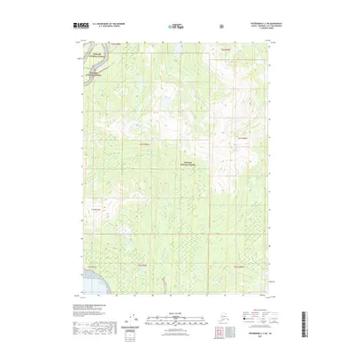
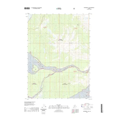
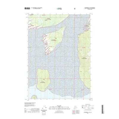
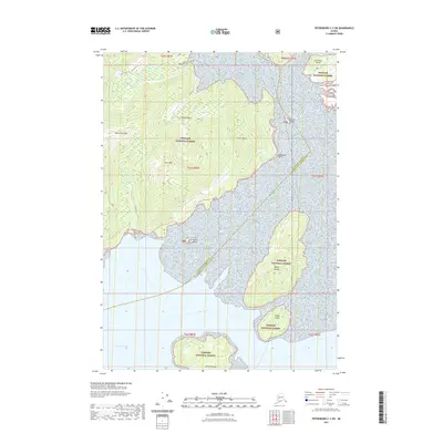
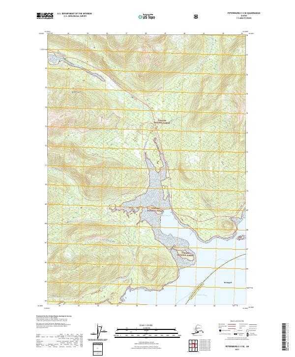
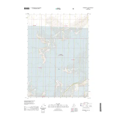
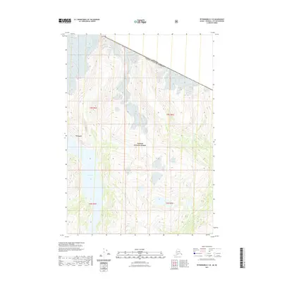
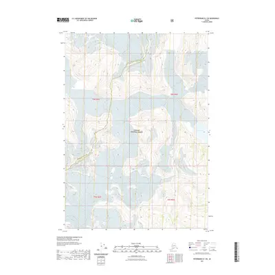
Editions of this 1961 Petersburg D-1 Map
3 editions found
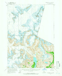
Historical Maps of United States Through Time
159 maps found
1948 Petersburg A-1
Wrangell Borough, AK
1948 Petersburg B-1
Wrangell Borough, AK
1948 Petersburg B-2
Wrangell Borough, AK
1948 Petersburg C-1
Wrangell Borough, AK
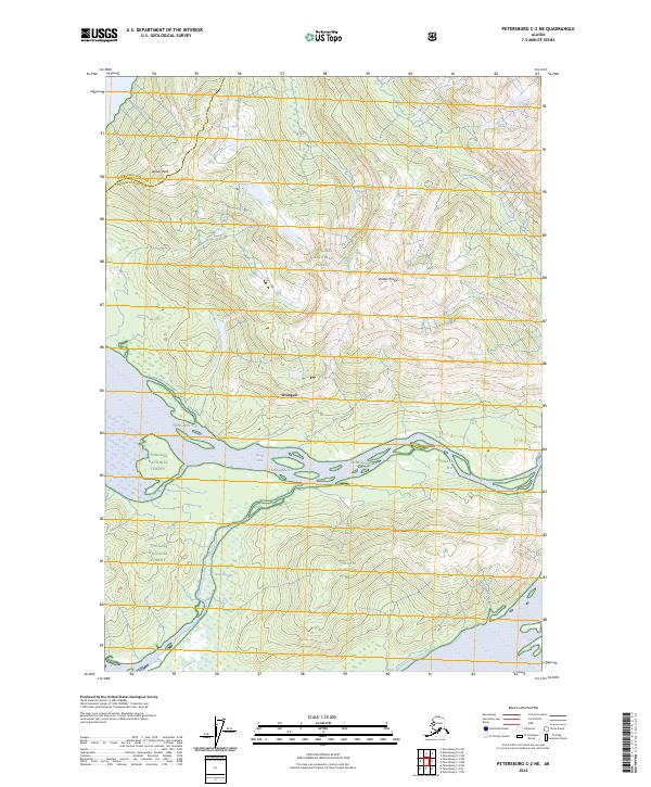
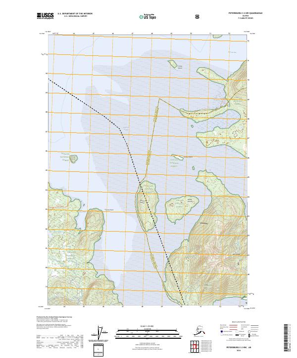
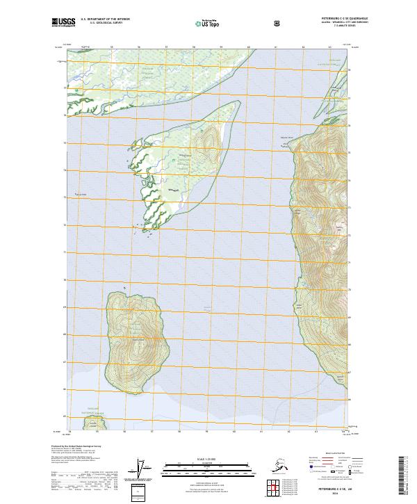
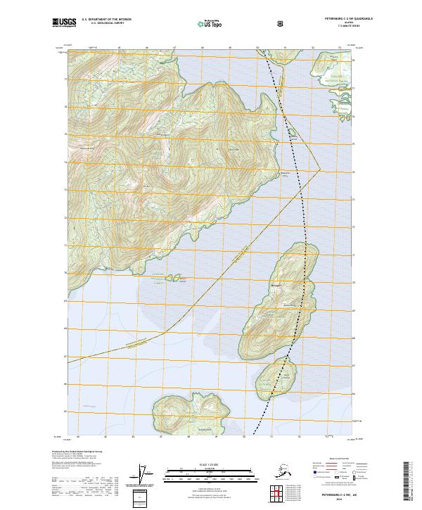
1948 Petersburg C-2
Wrangell Borough, AK
1948 Petersburg C-3
Wrangell Borough, AK
1951 Petersburg A-1
Wrangell Borough, AK
1951 Petersburg C-2
Wrangell Borough, AK
1953 Petersburg B-2
Wrangell Borough, AK
1953 Petersburg C-1
Wrangell Borough, AK
1953 Petersburg C-3
Wrangell Borough, AK
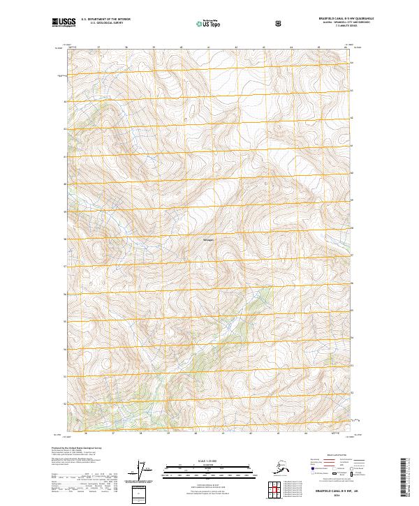
1955 Bradfield canal B-5
Wrangell Borough, AK
1955 Bradfield canal B-6
Wrangell Borough, AK
1955 Bradfield Canal C-5
Wrangell Borough, AK
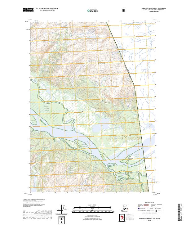
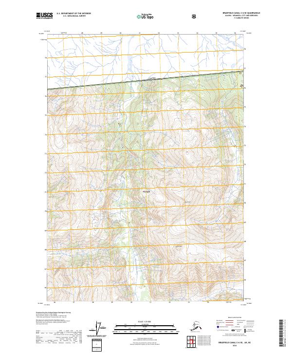
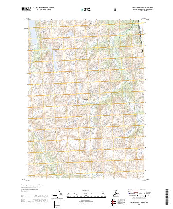
1955 Bradfield canal C-6
Wrangell Borough, AK
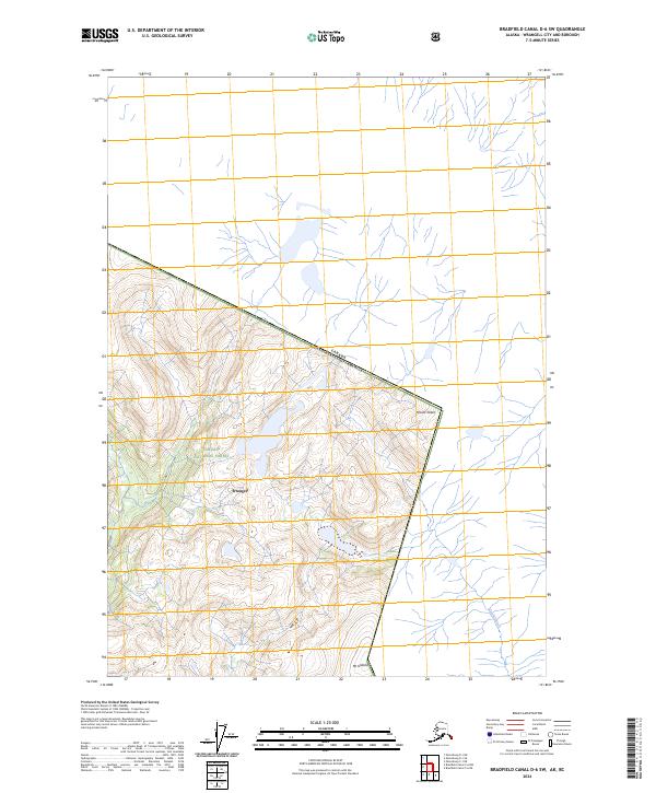
1955 Bradfield canal D-6
Wrangell Borough, AK
1955 Petersburg B-1
Wrangell Borough, AK
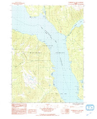
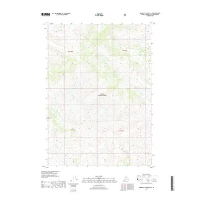
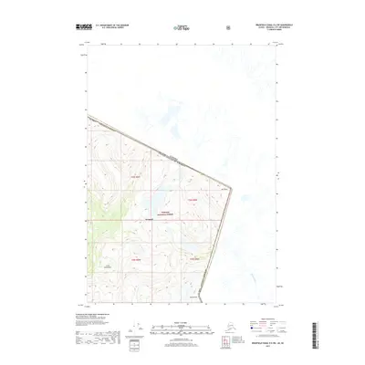
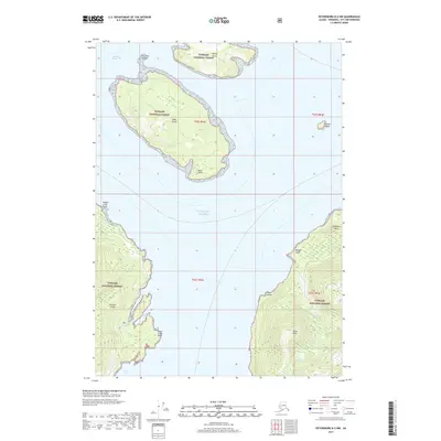
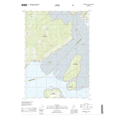
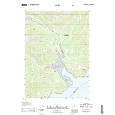
1961 Petersburg D-1
Wrangell Borough, AK
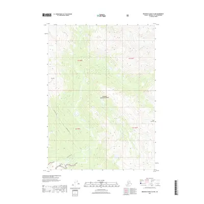
1961 Petersburg D-2
Wrangell Borough, AK
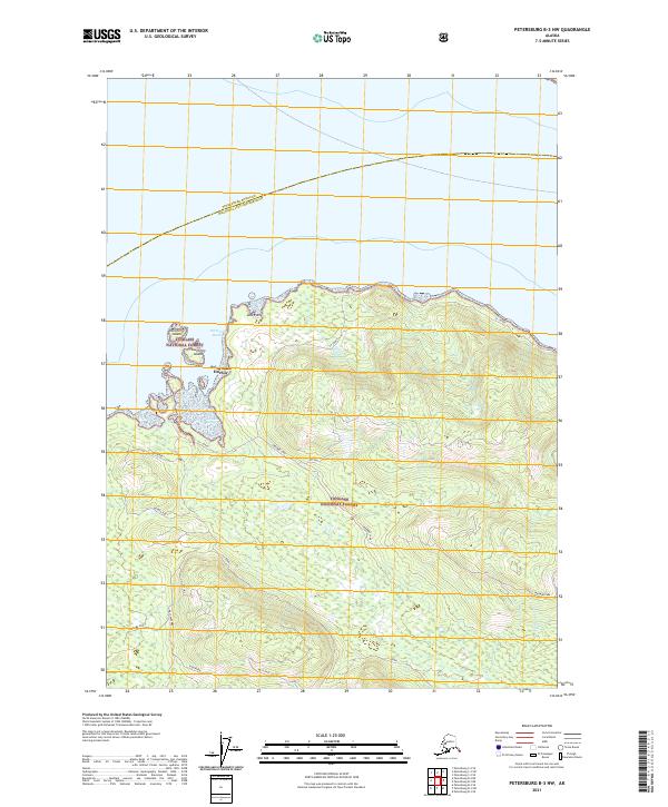
1992 Petersburg B-1 NW
Wrangell Borough, AK
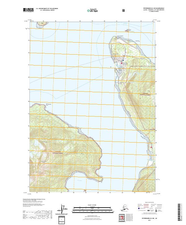
1992 Petersburg B-2 NE
Wrangell Borough, AK
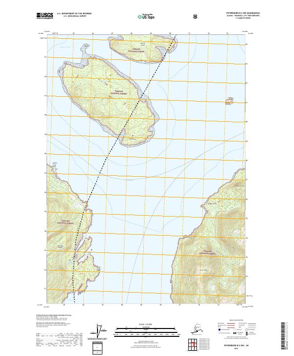
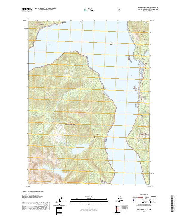
1992 Petersburg B-2 SE
Wrangell Borough, AK
1992 Petersburg C-2 SW
Wrangell Borough, AK

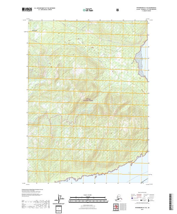
1992 Petersburg C-3 SE
Wrangell Borough, AK
1994 Petersburg D-2
Wrangell Borough, AK
1995 Petersburg A-1
Wrangell Borough, AK
1995 Petersburg B-2
Wrangell Borough, AK
1995 Petersburg C-1
Wrangell Borough, AK
1997 Petersburg B-1
Wrangell Borough, AK
1997 Petersburg C-2
Wrangell Borough, AK
2000 Bradfield Canal B-6
Wrangell Borough, AK
2000 Petersburg D-1
Wrangell Borough, AK
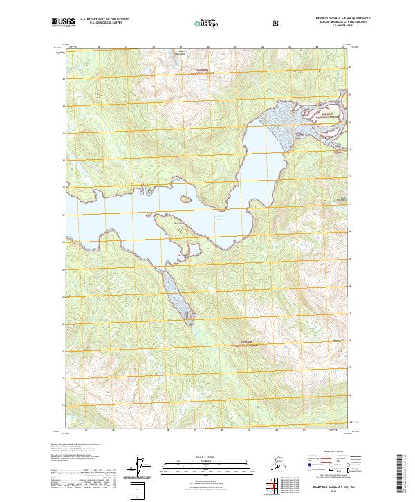
2017 Bradfield Canal A-5 NW
Wrangell Borough, AK
2017 Bradfield Canal A-6 NE
Wrangell Borough, AK
2017 Bradfield Canal A-6 NW
Wrangell Borough, AK
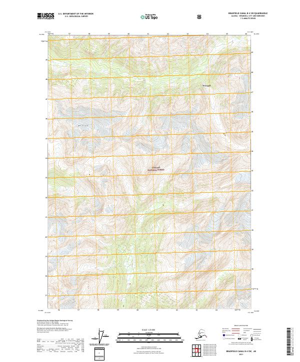
2017 Bradfield Canal B-4 NW
Wrangell Borough, AK
2017 Bradfield Canal B-4 SW
Wrangell Borough, AK

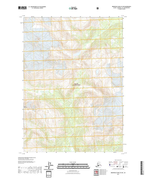
2017 Bradfield Canal B-5 NE
Wrangell Borough, AK
2017 Bradfield Canal B-5 NW
Wrangell Borough, AK
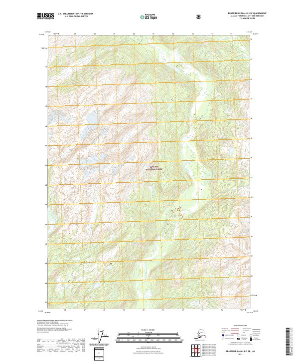
2017 Bradfield Canal B-5 SE
Wrangell Borough, AK
2017 Bradfield Canal B-5 SW
Wrangell Borough, AK
2017 Bradfield Canal B-6 NE
Wrangell Borough, AK
2017 Bradfield Canal B-6 NW
Wrangell Borough, AK

2017 Bradfield Canal B-6 SE
Wrangell Borough, AK
2017 Bradfield Canal B-6 SW
Wrangell Borough, AK
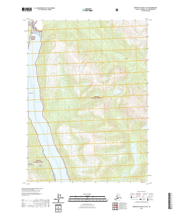
2017 Bradfield Canal C-5 OE E SW
Wrangell Borough, AK
2017 Bradfield Canal C-5 SE
Wrangell Borough, AK
2017 Bradfield Canal C-5 SW
Wrangell Borough, AK
2017 Bradfield Canal C-6 NW
Wrangell Borough, AK

2017 Bradfield Canal C-6 SE
Wrangell Borough, AK
2017 Bradfield Canal C-6 SW
Wrangell Borough, AK
2017 Bradfield Canal D-6 SW
Wrangell Borough, AK
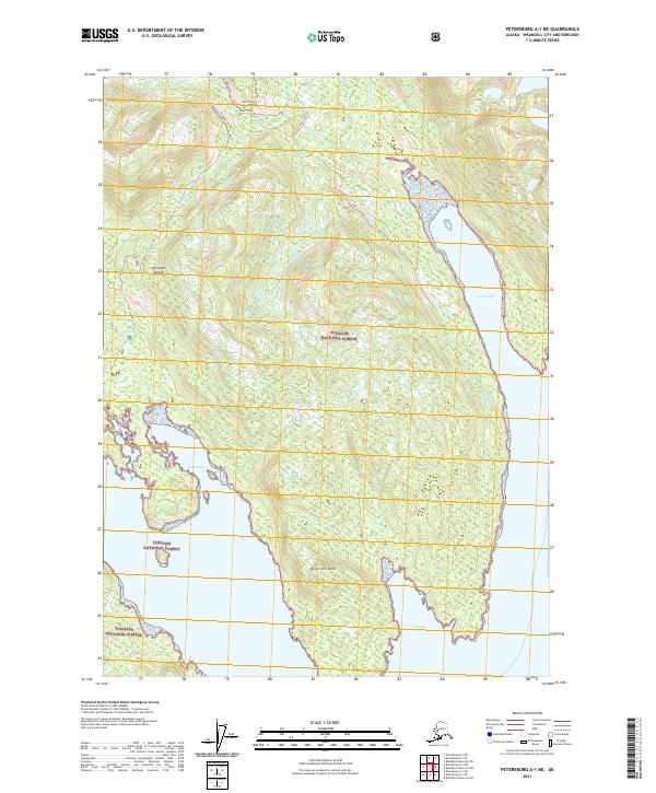
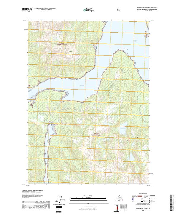
2017 Petersburg A-1 NE
Wrangell Borough, AK
2017 Petersburg A-1 NW
Wrangell Borough, AK
2017 Petersburg A-1 SE
Wrangell Borough, AK
2017 Petersburg A-1 SW
Wrangell Borough, AK
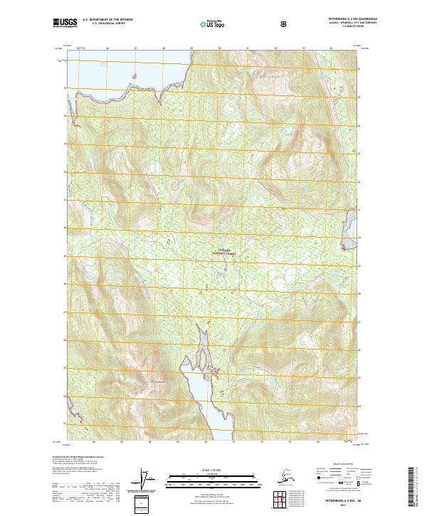
2017 Petersburg A-2 NE
Wrangell Borough, AK
2017 Petersburg A-2 NW
Wrangell Borough, AK

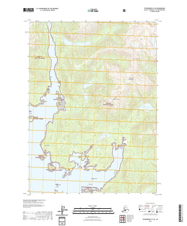
2017 Petersburg A-2 SE
Wrangell Borough, AK
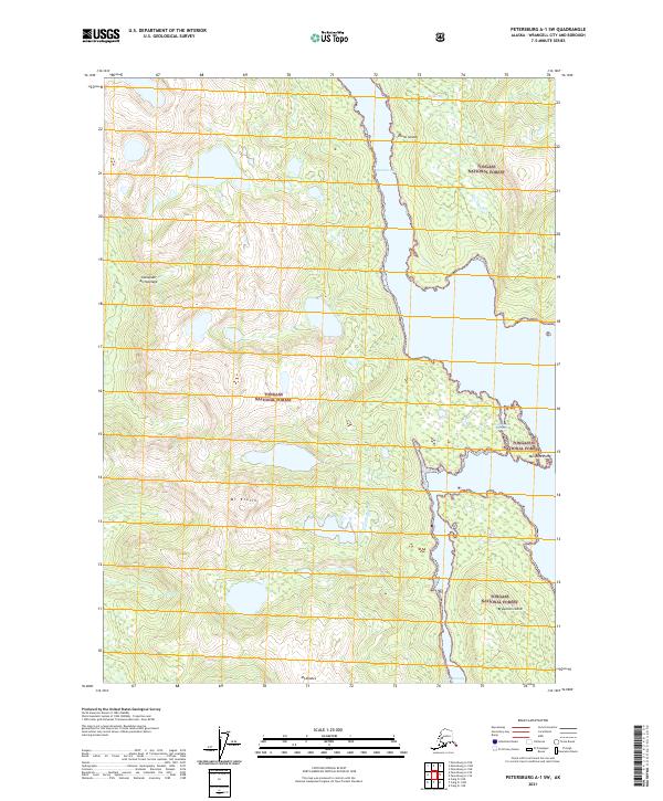
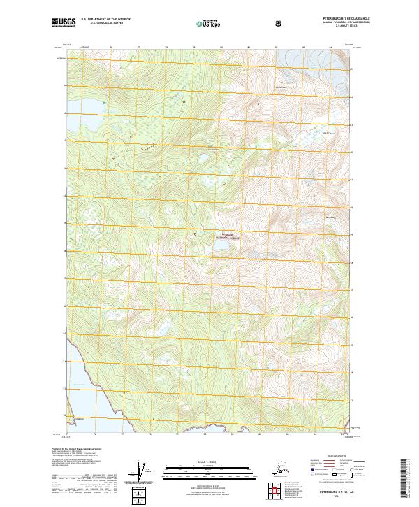
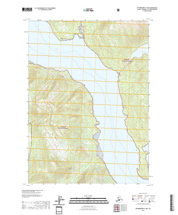
2017 Petersburg B-1 NE
Wrangell Borough, AK
2017 Petersburg B-1 NW
Wrangell Borough, AK
2017 Petersburg B-1 SE
Wrangell Borough, AK
2017 Petersburg B-1 SW
Wrangell Borough, AK
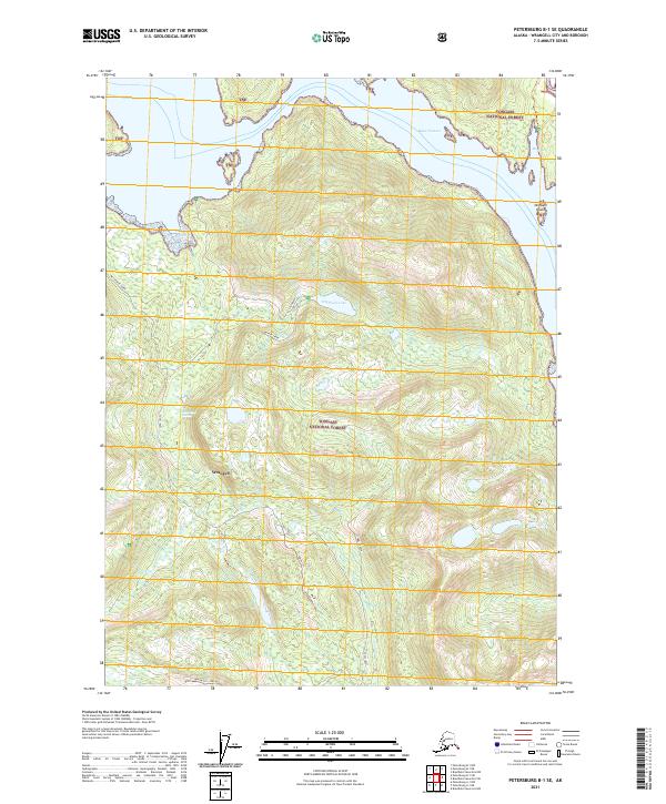
2017 Petersburg B-2 NE
Wrangell Borough, AK
2017 Petersburg B-2 NW
Wrangell Borough, AK

2017 Petersburg B-2 SE
Wrangell Borough, AK
2017 Petersburg B-2 SW
Wrangell Borough, AK
2017 Petersburg B-3 NE
Wrangell Borough, AK
2017 Petersburg B-3 NW
Wrangell Borough, AK
2017 Petersburg B-3 SE
Wrangell Borough, AK
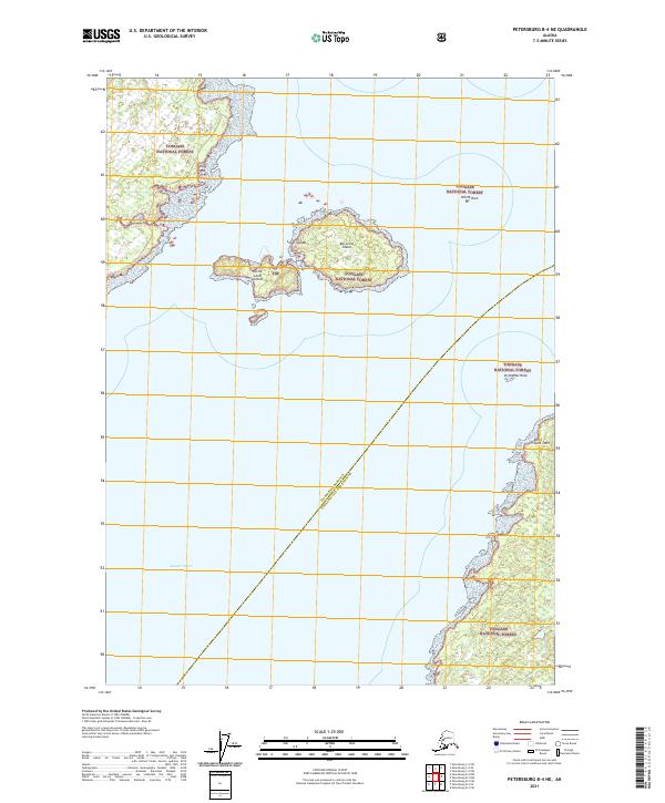
2017 Petersburg B-4 NE
Wrangell Borough, AK
2017 Petersburg C-1 NE
Wrangell Borough, AK
2017 Petersburg C-1 NW
Wrangell Borough, AK
2017 Petersburg C-1 SE
Wrangell Borough, AK
2017 Petersburg C-1 SW
Wrangell Borough, AK
2017 Petersburg C-2 NE
Wrangell Borough, AK
2017 Petersburg C-2 NW
Wrangell Borough, AK

2017 Petersburg C-2 SE
Wrangell Borough, AK
2017 Petersburg C-2 SW
Wrangell Borough, AK
2017 Petersburg C-3 SE
Wrangell Borough, AK
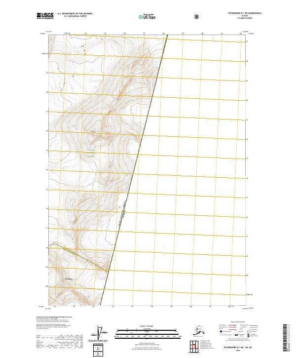
2017 Petersburg D-1 NE
Wrangell Borough, AK
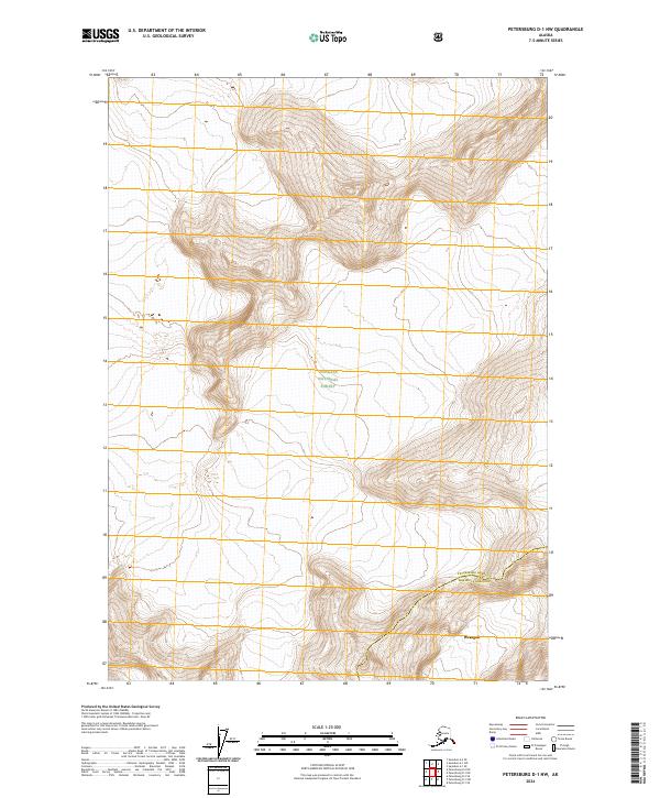
2017 Petersburg D-1 NW
Wrangell Borough, AK
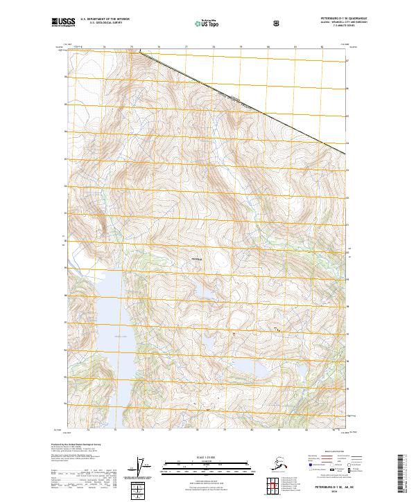
2017 Petersburg D-1 SE
Wrangell Borough, AK
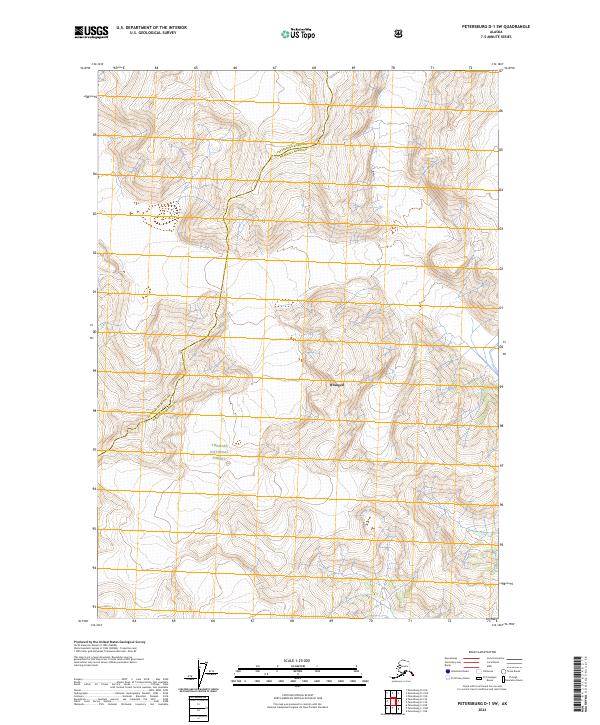
2017 Petersburg D-1 SW
Wrangell Borough, AK
2017 Petersburg D-2 SE
Wrangell Borough, AK
2021 Bradfield Canal A-5 NW
Wrangell Borough, AK
2021 Bradfield Canal A-6 NE
Wrangell Borough, AK
2021 Bradfield Canal A-6 NW
Wrangell Borough, AK
2021 Bradfield Canal B-4 NW
Wrangell Borough, AK
2021 Bradfield Canal B-4 SW
Wrangell Borough, AK
2021 Bradfield Canal B-5 NE
Wrangell Borough, AK
2021 Bradfield Canal B-5 NW
Wrangell Borough, AK
2021 Bradfield Canal B-5 SE
Wrangell Borough, AK
2021 Bradfield Canal B-5 SW
Wrangell Borough, AK
2021 Bradfield Canal B-6 NE
Wrangell Borough, AK
2021 Bradfield Canal B-6 NW
Wrangell Borough, AK
2021 Bradfield Canal B-6 SE
Wrangell Borough, AK
2021 Bradfield Canal B-6 SW
Wrangell Borough, AK
2021 Bradfield Canal C-5 OE E SW
Wrangell Borough, AK
2021 Bradfield Canal C-5 SE
Wrangell Borough, AK
2021 Bradfield Canal C-5 SW
Wrangell Borough, AK
2021 Bradfield Canal C-6 NW
Wrangell Borough, AK
2021 Bradfield Canal C-6 SE
Wrangell Borough, AK
2021 Bradfield Canal C-6 SW
Wrangell Borough, AK
2021 Bradfield Canal D-6 SW
Wrangell Borough, AK
2021 Petersburg A-1 NE
Wrangell Borough, AK
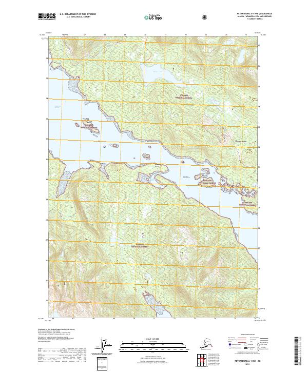
2021 Petersburg A-1 NW
Wrangell Borough, AK
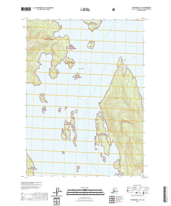
2021 Petersburg A-1 SE
Wrangell Borough, AK
2021 Petersburg A-1 SW
Wrangell Borough, AK
2021 Petersburg A-2 NE
Wrangell Borough, AK
2021 Petersburg A-2 NW
Wrangell Borough, AK
2021 Petersburg A-2 SE
Wrangell Borough, AK
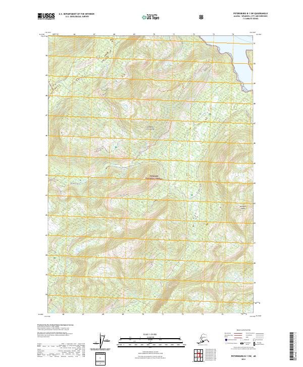
2021 Petersburg B-1 NE
Wrangell Borough, AK
2021 Petersburg B-1 NW
Wrangell Borough, AK
2021 Petersburg B-1 SE
Wrangell Borough, AK
2021 Petersburg B-1 SW
Wrangell Borough, AK
2021 Petersburg B-2 NE
Wrangell Borough, AK
2021 Petersburg B-2 NW
Wrangell Borough, AK
2021 Petersburg B-2 SE
Wrangell Borough, AK
2021 Petersburg B-2 SW
Wrangell Borough, AK
2021 Petersburg B-3 NE
Wrangell Borough, AK
2021 Petersburg B-3 NW
Wrangell Borough, AK
2021 Petersburg B-3 SE
Wrangell Borough, AK
2021 Petersburg B-4 NE
Wrangell Borough, AK
2021 Petersburg C-1 NE
Wrangell Borough, AK
2021 Petersburg C-1 NW
Wrangell Borough, AK
2021 Petersburg C-1 SE
Wrangell Borough, AK
2021 Petersburg C-1 SW
Wrangell Borough, AK
2021 Petersburg C-2 NE
Wrangell Borough, AK
2021 Petersburg C-2 NW
Wrangell Borough, AK
2021 Petersburg C-2 SE
Wrangell Borough, AK
2021 Petersburg C-2 SW
Wrangell Borough, AK
2021 Petersburg C-3 SE
Wrangell Borough, AK
2021 Petersburg D-1 NE
Wrangell Borough, AK
2021 Petersburg D-1 NW
Wrangell Borough, AK
2021 Petersburg D-1 SE
Wrangell Borough, AK
2021 Petersburg D-1 SW
Wrangell Borough, AK
2021 Petersburg D-2 SE
Wrangell Borough, AK
2024 Bradfield Canal B-5 NW
Wrangell Borough, AK
2024 Bradfield Canal B-6 NE
Wrangell Borough, AK

2024 Bradfield Canal B-6 NW
Wrangell Borough, AK
2024 Bradfield Canal C-5 SW
Wrangell Borough, AK
2024 Bradfield Canal C-6 NW
Wrangell Borough, AK
2024 Bradfield Canal C-6 SE
Wrangell Borough, AK
2024 Bradfield Canal C-6 SW
Wrangell Borough, AK
2024 Bradfield Canal D-6 SW
Wrangell Borough, AK
2024 Petersburg C-1 NE
Wrangell Borough, AK
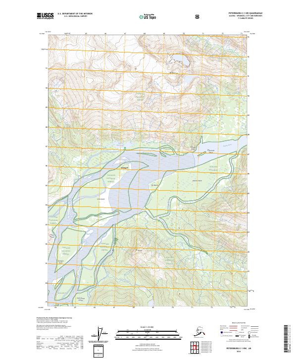
2024 Petersburg C-1 NW
Wrangell Borough, AK
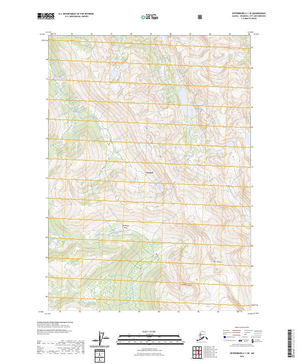
2024 Petersburg C-1 SE
Wrangell Borough, AK
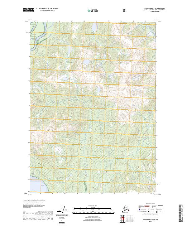
2024 Petersburg C-1 SW
Wrangell Borough, AK
2024 Petersburg C-2 NE
Wrangell Borough, AK
2024 Petersburg C-2 NW
Wrangell Borough, AK
2024 Petersburg C-2 SE
Wrangell Borough, AK
2024 Petersburg C-2 SW
Wrangell Borough, AK
2024 Petersburg D-1 NE
Wrangell Borough, AK
2024 Petersburg D-1 NW
Wrangell Borough, AK
2024 Petersburg D-1 SE
Wrangell Borough, AK
2024 Petersburg D-1 SW
Wrangell Borough, AK
2024 Petersburg D-2 SE
Wrangell Borough, AK