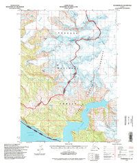
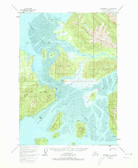
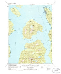
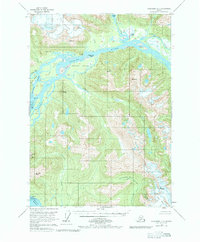
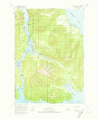
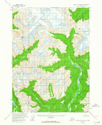
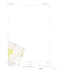
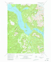
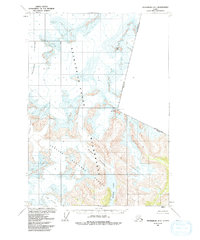
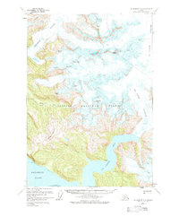
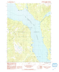
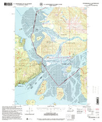
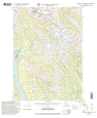
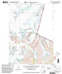
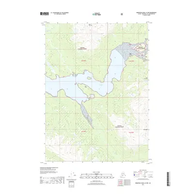
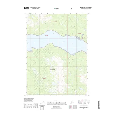
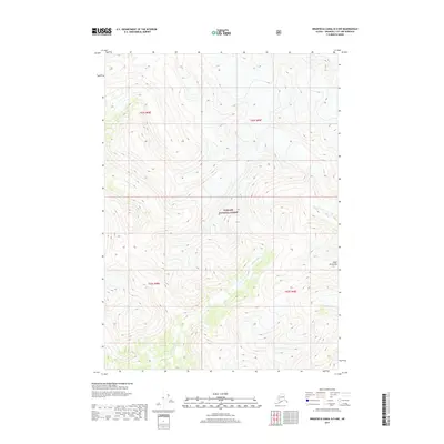
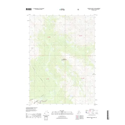
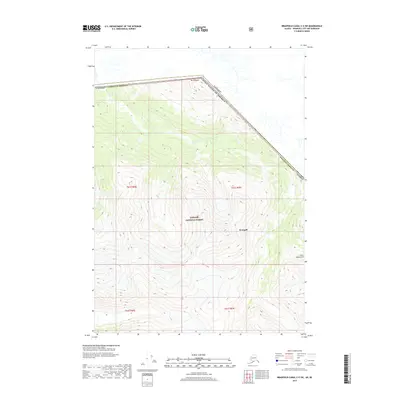
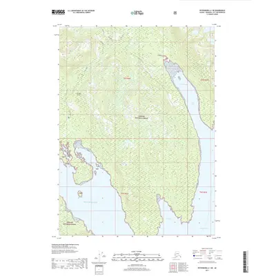
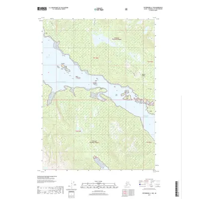
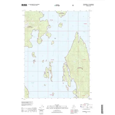
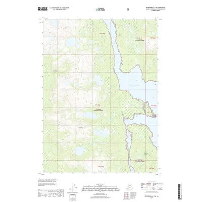
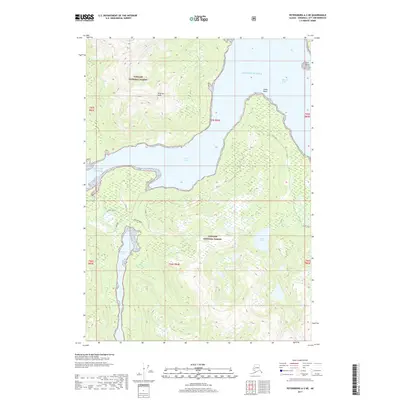
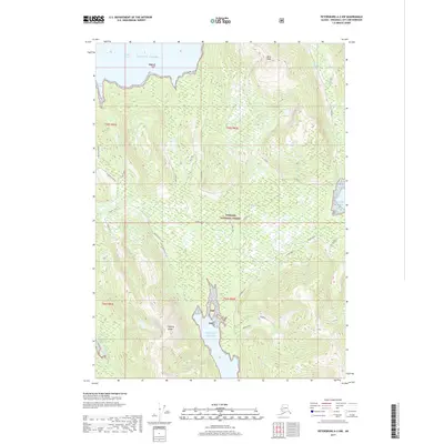
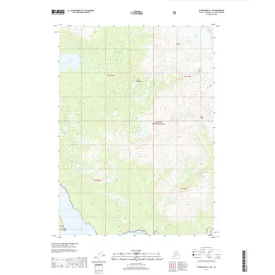
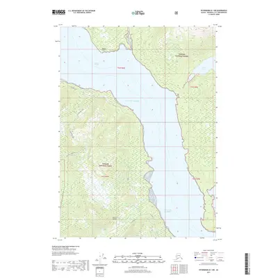
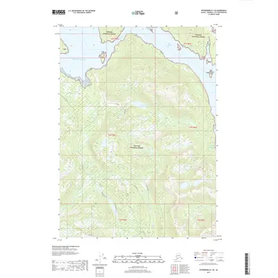
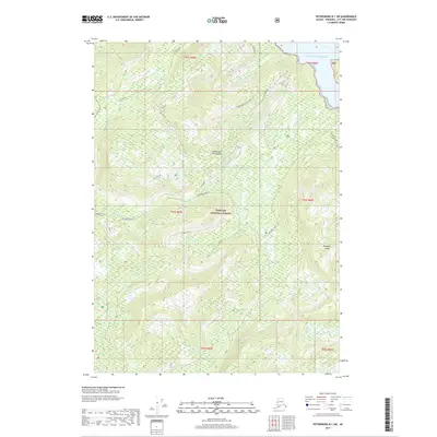
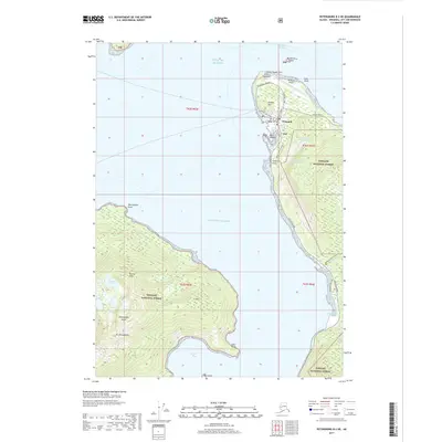
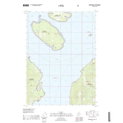
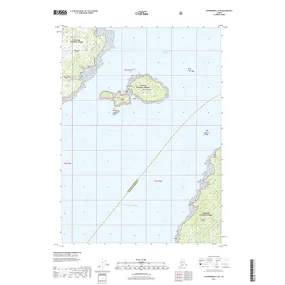
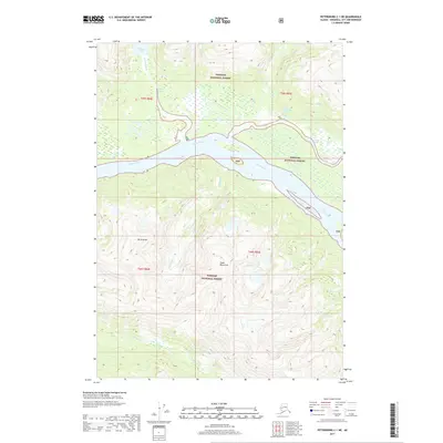
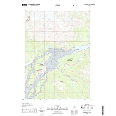
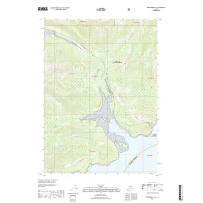
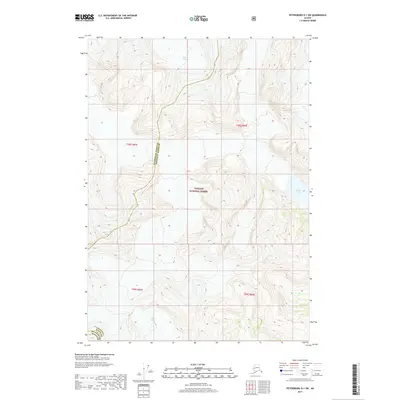
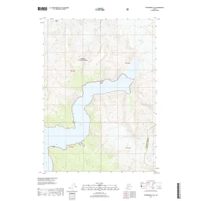
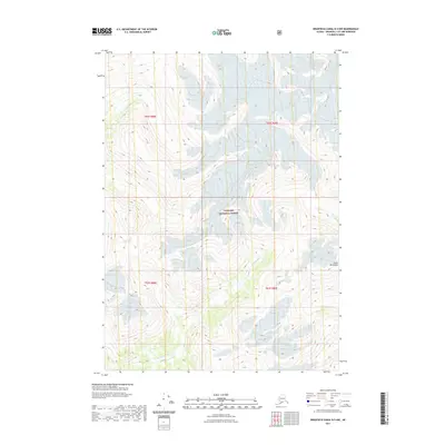
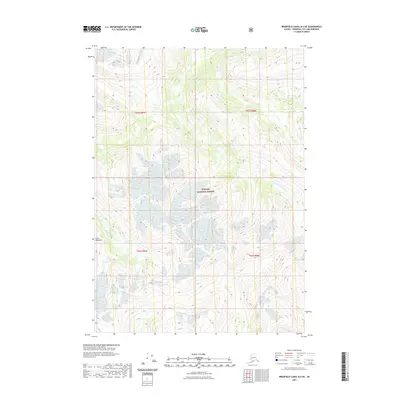
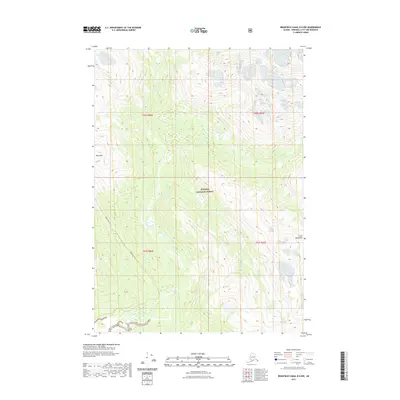
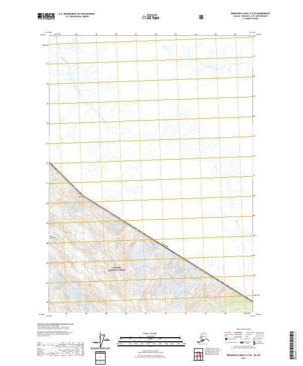
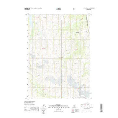
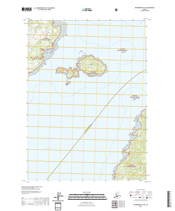
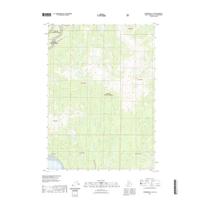
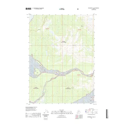
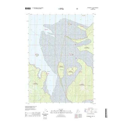
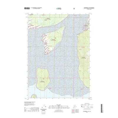
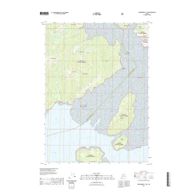
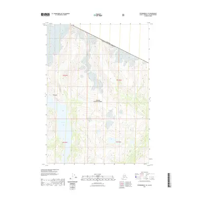
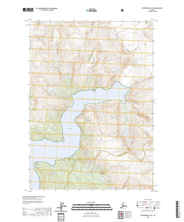
1994 Map of Petersburg D-2
USGS Topo · Published 1998About this map
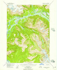
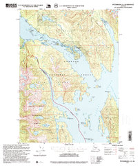
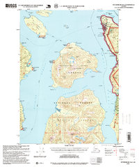
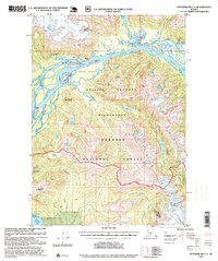
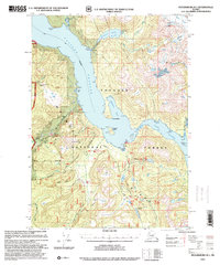
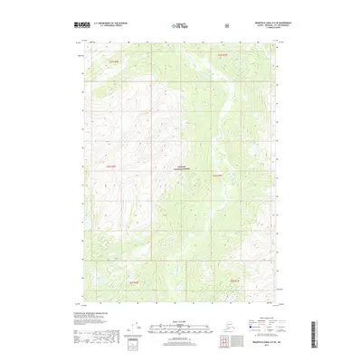
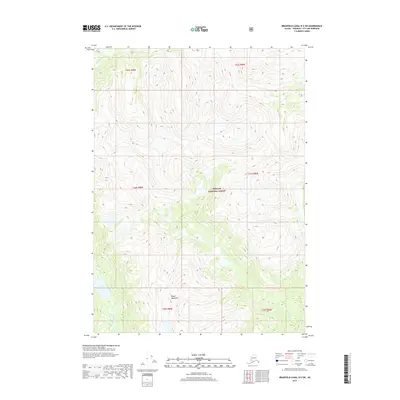
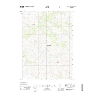
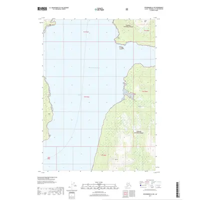
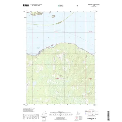
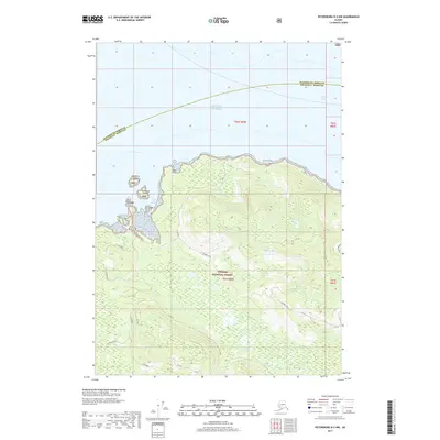
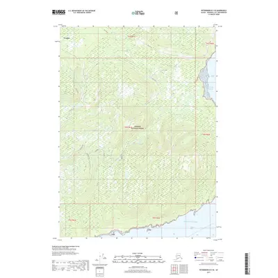
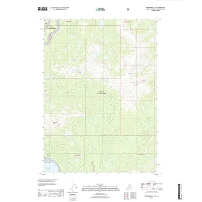
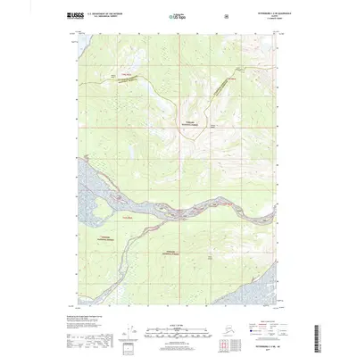
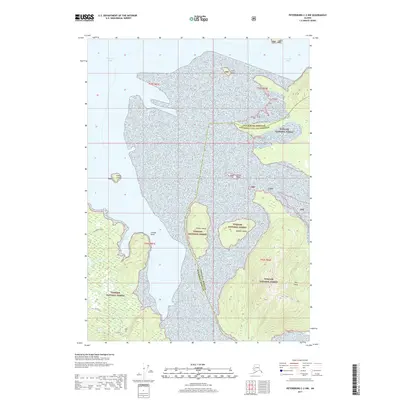
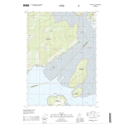
Stikine-Le Conte Wilderness dominates this corner of the Tongass National Forest, where massive ice fields and tidal waters meet. The landscape is defined by the dramatic descent of the Le Conte Glacier and Summit Glacier toward the deep waters of Le Conte Bay. Coastal geography is marked by prominent landmarks such as Timber Point and the towering Horn Cliffs, which rise sharply from Frederick Sound.
Find a feature on this map
26 named features on this map. Tap any name to fly to it.
Don’t see what you’re looking for? This feature index may not catch every label — zoom into the map to look around manually.
Map Details
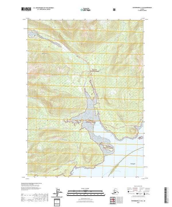
Editions of this 1994 Petersburg D-2 Map
This is the sole edition of this map. No revisions or reprints were ever made.
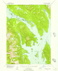
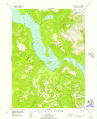
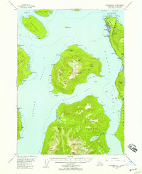
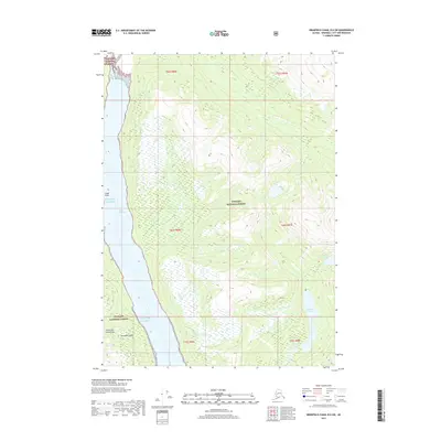
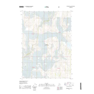
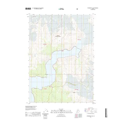
Historical Maps of Petersburg Borough Through Time
159 maps found
1948 Petersburg A-1
Wrangell Borough, AK
1948 Petersburg B-1
Wrangell Borough, AK
1948 Petersburg B-2
Wrangell Borough, AK
1948 Petersburg C-1
Wrangell Borough, AK
1948 Petersburg C-2
Wrangell Borough, AK
1948 Petersburg C-3
Wrangell Borough, AK
1951 Petersburg A-1
Wrangell Borough, AK
1951 Petersburg C-2
Wrangell Borough, AK
1953 Petersburg B-2
Wrangell Borough, AK
1953 Petersburg C-1
Wrangell Borough, AK
1953 Petersburg C-3
Wrangell Borough, AK
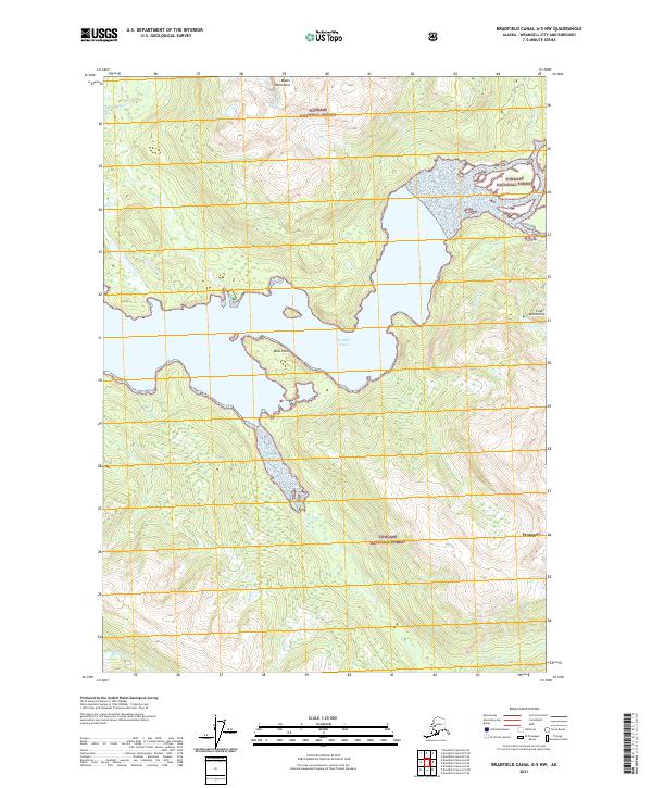
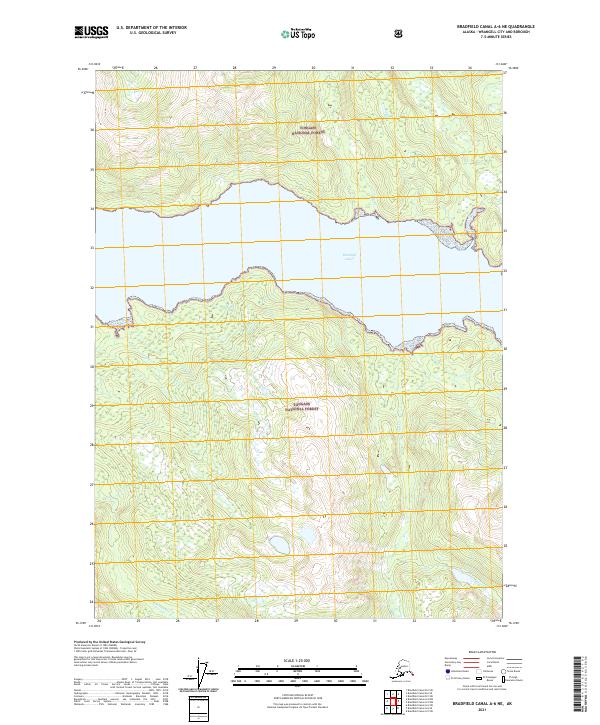
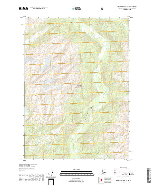
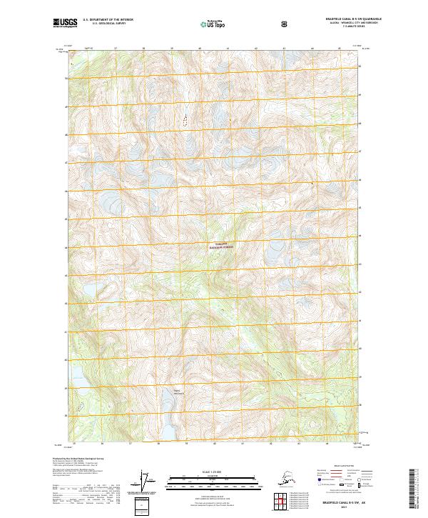
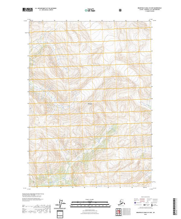
1955 Bradfield canal B-5
Wrangell Borough, AK
1955 Bradfield canal B-6
Wrangell Borough, AK
1955 Bradfield Canal C-5
Wrangell Borough, AK
1955 Bradfield canal C-6
Wrangell Borough, AK
1955 Bradfield canal D-6
Wrangell Borough, AK
1955 Petersburg B-1
Wrangell Borough, AK
1961 Petersburg D-1
Wrangell Borough, AK
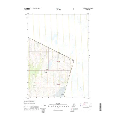
1961 Petersburg D-2
Wrangell Borough, AK
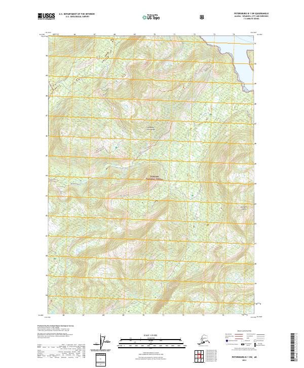
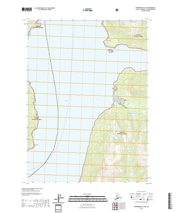
1992 Petersburg B-1 NW
Wrangell Borough, AK
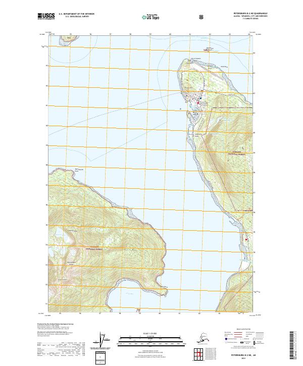
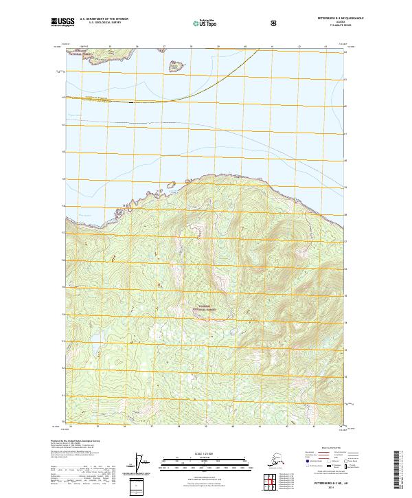
1992 Petersburg B-2 NE
Wrangell Borough, AK
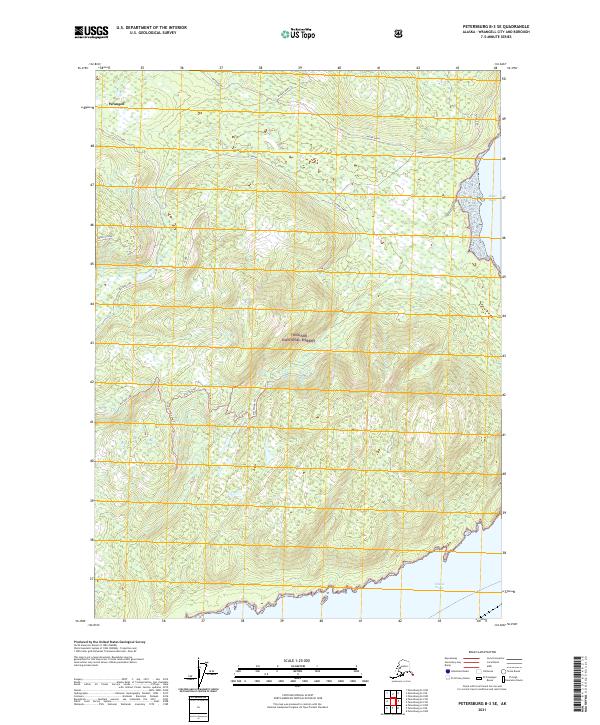
1992 Petersburg B-2 SE
Wrangell Borough, AK
1992 Petersburg C-2 SW
Wrangell Borough, AK

1992 Petersburg C-3 SE
Wrangell Borough, AK
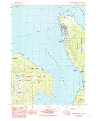
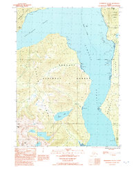
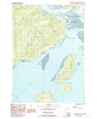
1994 Petersburg D-2
Wrangell Borough, AK
1995 Petersburg A-1
Wrangell Borough, AK
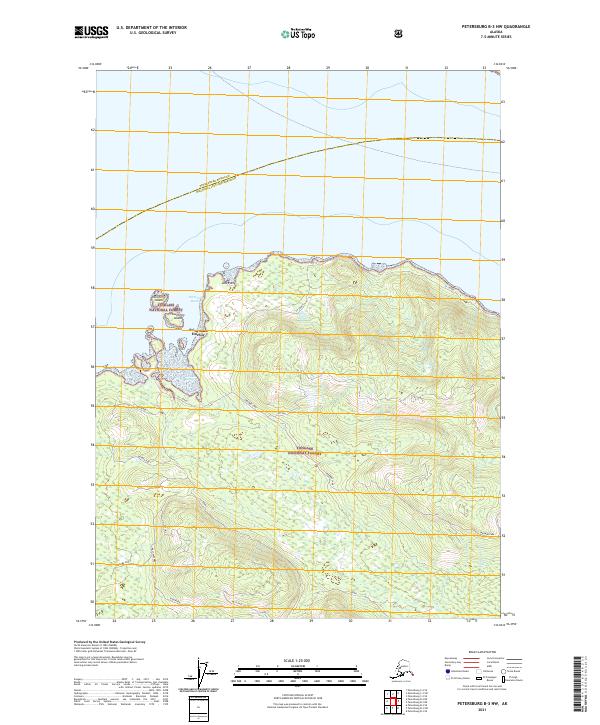
1995 Petersburg B-2
Wrangell Borough, AK
1995 Petersburg C-1
Wrangell Borough, AK
1997 Petersburg B-1
Wrangell Borough, AK
1997 Petersburg C-2
Wrangell Borough, AK
2000 Bradfield Canal B-6
Wrangell Borough, AK
2000 Petersburg D-1
Wrangell Borough, AK
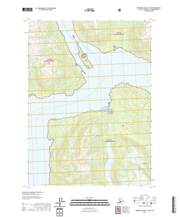
2017 Bradfield Canal A-5 NW
Wrangell Borough, AK
2017 Bradfield Canal A-6 NE
Wrangell Borough, AK
2017 Bradfield Canal A-6 NW
Wrangell Borough, AK
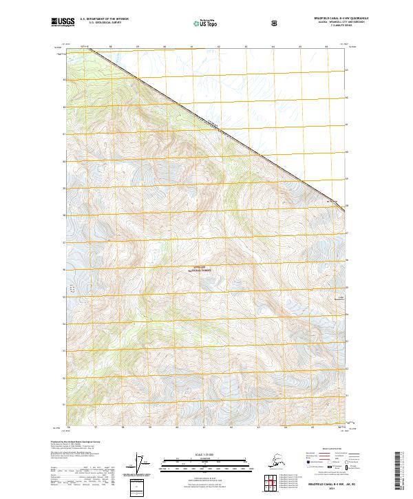
2017 Bradfield Canal B-4 NW
Wrangell Borough, AK
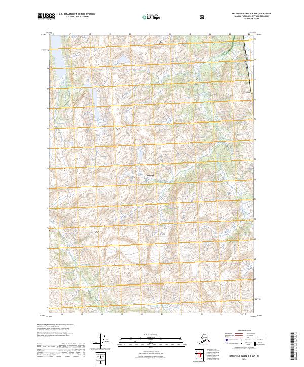
2017 Bradfield Canal B-4 SW
Wrangell Borough, AK

2017 Bradfield Canal B-5 NE
Wrangell Borough, AK
2017 Bradfield Canal B-5 NW
Wrangell Borough, AK
2017 Bradfield Canal B-5 SE
Wrangell Borough, AK
2017 Bradfield Canal B-5 SW
Wrangell Borough, AK
2017 Bradfield Canal B-6 NE
Wrangell Borough, AK
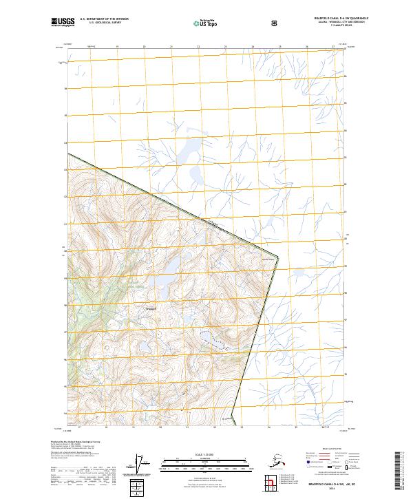
2017 Bradfield Canal B-6 NW
Wrangell Borough, AK

2017 Bradfield Canal B-6 SE
Wrangell Borough, AK
2017 Bradfield Canal B-6 SW
Wrangell Borough, AK
2017 Bradfield Canal C-5 OE E SW
Wrangell Borough, AK
2017 Bradfield Canal C-5 SE
Wrangell Borough, AK
2017 Bradfield Canal C-5 SW
Wrangell Borough, AK
2017 Bradfield Canal C-6 NW
Wrangell Borough, AK

2017 Bradfield Canal C-6 SE
Wrangell Borough, AK
2017 Bradfield Canal C-6 SW
Wrangell Borough, AK
2017 Bradfield Canal D-6 SW
Wrangell Borough, AK
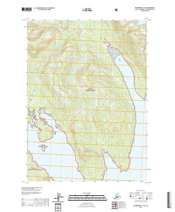
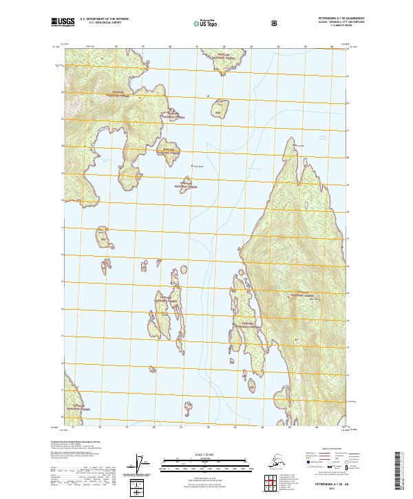
2017 Petersburg A-1 NE
Wrangell Borough, AK
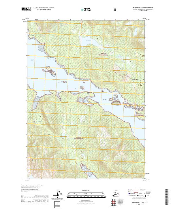
2017 Petersburg A-1 NW
Wrangell Borough, AK
2017 Petersburg A-1 SE
Wrangell Borough, AK
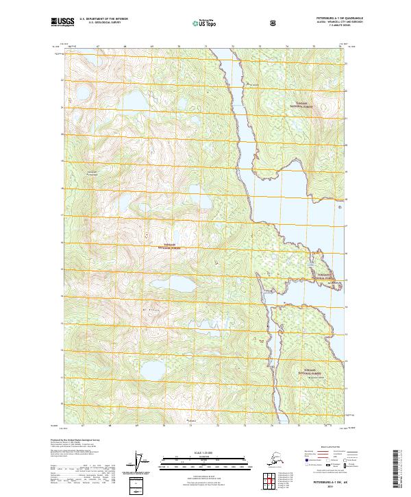
2017 Petersburg A-1 SW
Wrangell Borough, AK
2017 Petersburg A-2 NE
Wrangell Borough, AK
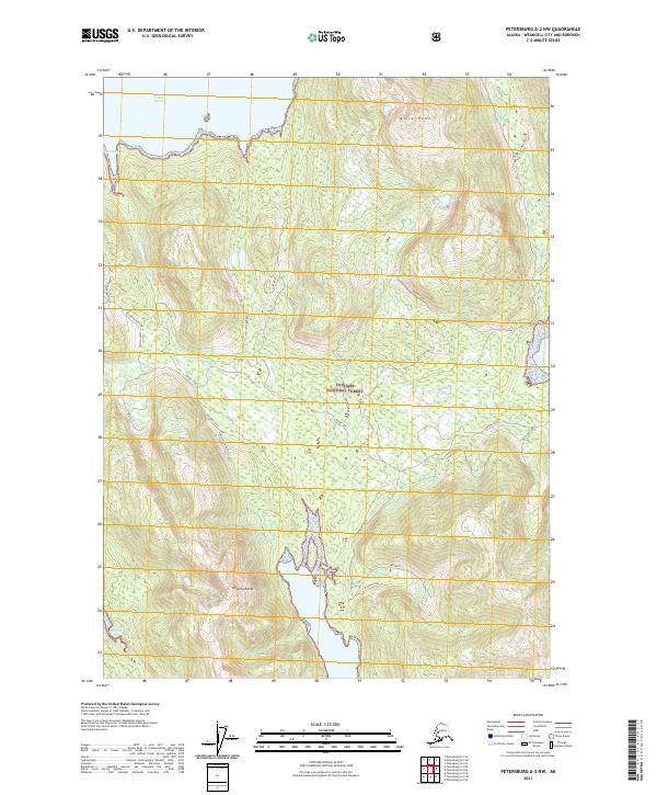
2017 Petersburg A-2 NW
Wrangell Borough, AK

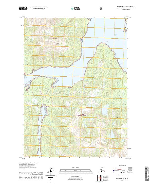
2017 Petersburg A-2 SE
Wrangell Borough, AK
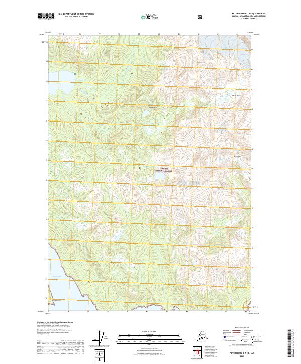
2017 Petersburg B-1 NE
Wrangell Borough, AK
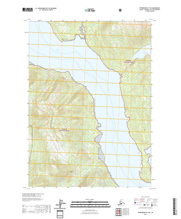
2017 Petersburg B-1 NW
Wrangell Borough, AK
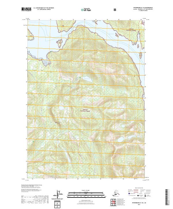
2017 Petersburg B-1 SE
Wrangell Borough, AK
2017 Petersburg B-1 SW
Wrangell Borough, AK
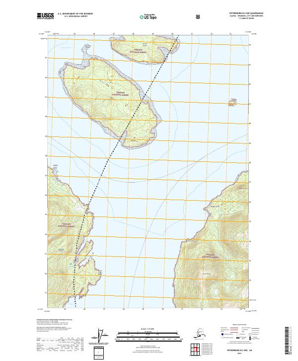
2017 Petersburg B-2 NE
Wrangell Borough, AK
2017 Petersburg B-2 NW
Wrangell Borough, AK

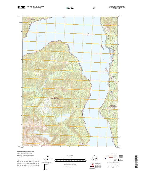
2017 Petersburg B-2 SE
Wrangell Borough, AK
2017 Petersburg B-2 SW
Wrangell Borough, AK
2017 Petersburg B-3 NE
Wrangell Borough, AK
2017 Petersburg B-3 NW
Wrangell Borough, AK
2017 Petersburg B-3 SE
Wrangell Borough, AK
2017 Petersburg B-4 NE
Wrangell Borough, AK
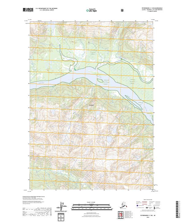
2017 Petersburg C-1 NE
Wrangell Borough, AK
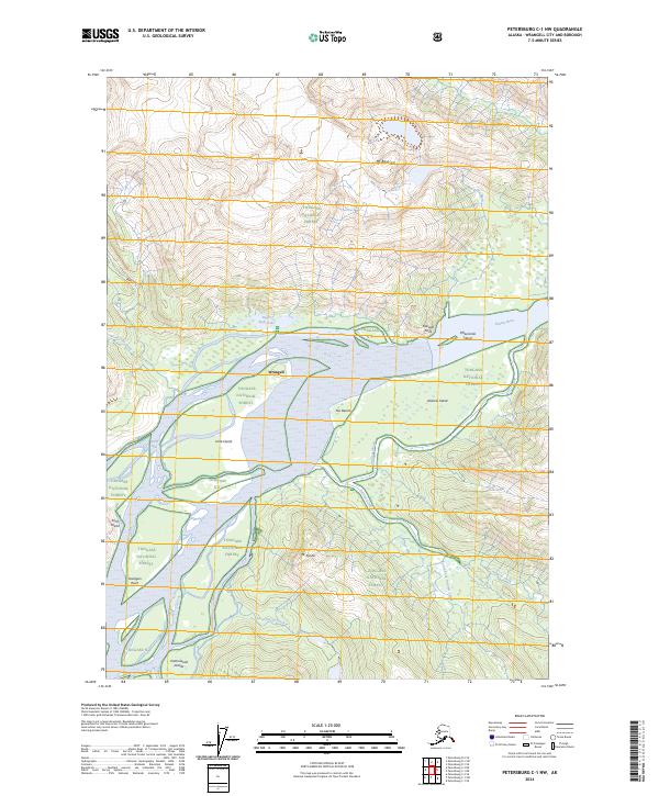
2017 Petersburg C-1 NW
Wrangell Borough, AK
2017 Petersburg C-1 SE
Wrangell Borough, AK
2017 Petersburg C-1 SW
Wrangell Borough, AK
2017 Petersburg C-2 NE
Wrangell Borough, AK
2017 Petersburg C-2 NW
Wrangell Borough, AK

2017 Petersburg C-2 SE
Wrangell Borough, AK
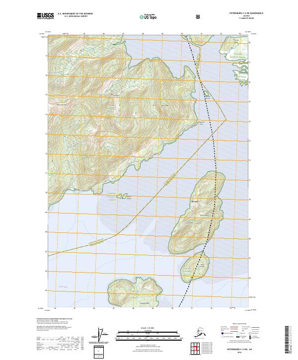
2017 Petersburg C-2 SW
Wrangell Borough, AK
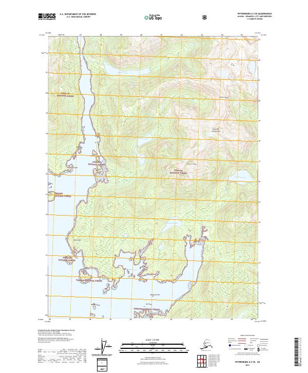
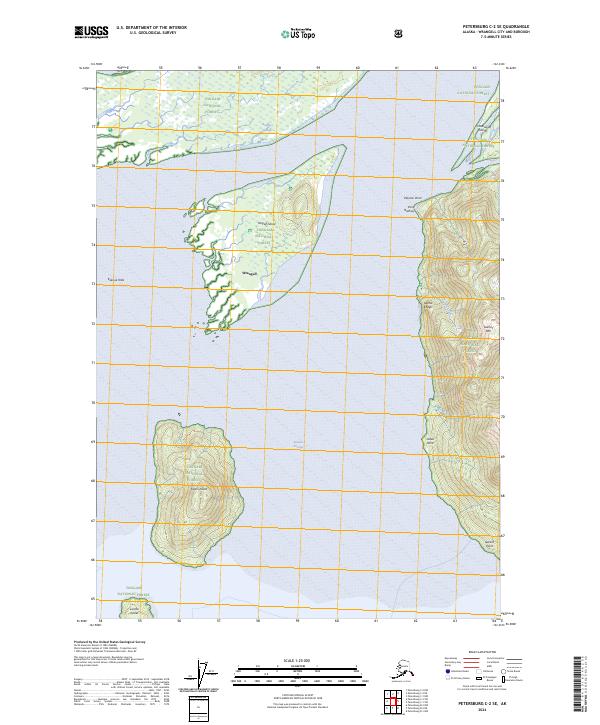
2017 Petersburg C-3 SE
Wrangell Borough, AK
2017 Petersburg D-1 NE
Wrangell Borough, AK
2017 Petersburg D-1 NW
Wrangell Borough, AK
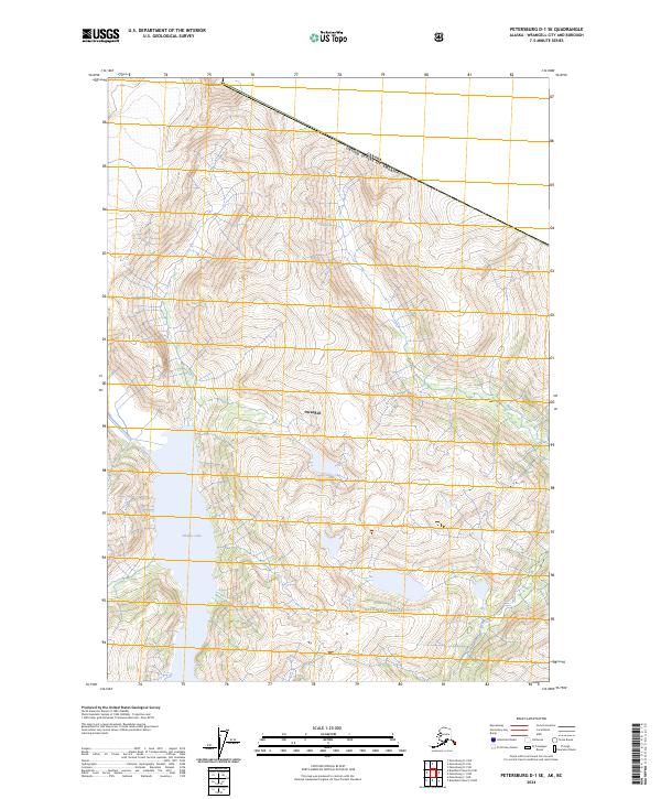
2017 Petersburg D-1 SE
Wrangell Borough, AK
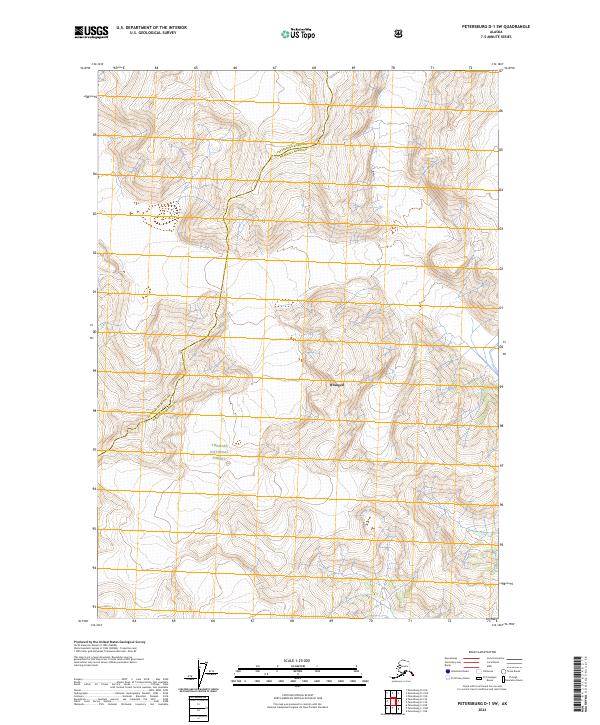
2017 Petersburg D-1 SW
Wrangell Borough, AK
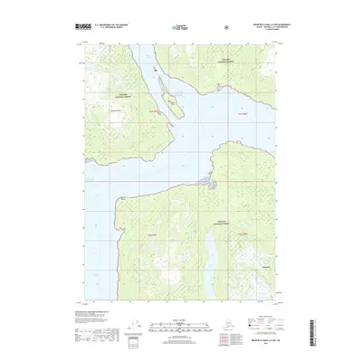
2017 Petersburg D-2 SE
Wrangell Borough, AK
2021 Bradfield Canal A-5 NW
Wrangell Borough, AK
2021 Bradfield Canal A-6 NE
Wrangell Borough, AK
2021 Bradfield Canal A-6 NW
Wrangell Borough, AK
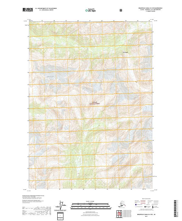
2021 Bradfield Canal B-4 NW
Wrangell Borough, AK
2021 Bradfield Canal B-4 SW
Wrangell Borough, AK
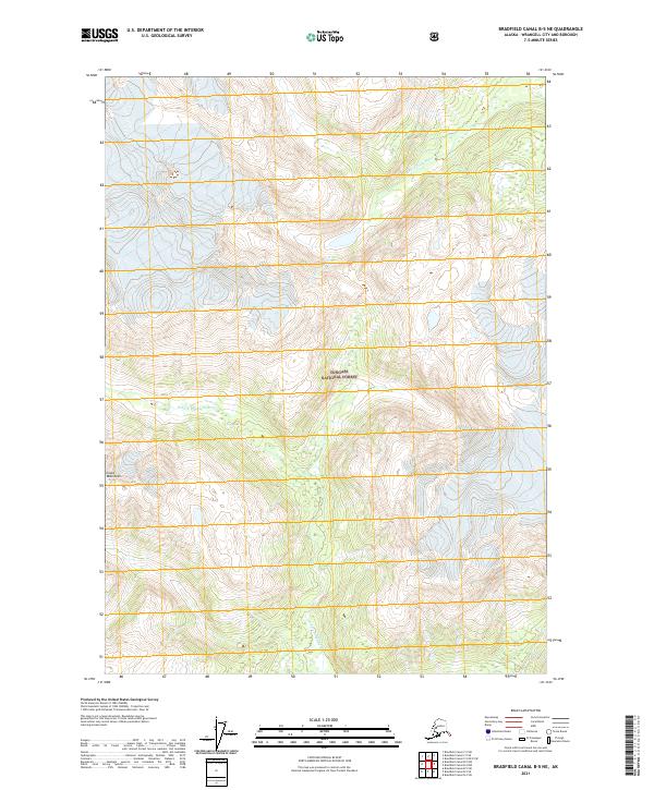
2021 Bradfield Canal B-5 NE
Wrangell Borough, AK
2021 Bradfield Canal B-5 NW
Wrangell Borough, AK
2021 Bradfield Canal B-5 SE
Wrangell Borough, AK
2021 Bradfield Canal B-5 SW
Wrangell Borough, AK
2021 Bradfield Canal B-6 NE
Wrangell Borough, AK
2021 Bradfield Canal B-6 NW
Wrangell Borough, AK
2021 Bradfield Canal B-6 SE
Wrangell Borough, AK
2021 Bradfield Canal B-6 SW
Wrangell Borough, AK
2021 Bradfield Canal C-5 OE E SW
Wrangell Borough, AK
2021 Bradfield Canal C-5 SE
Wrangell Borough, AK
2021 Bradfield Canal C-5 SW
Wrangell Borough, AK
2021 Bradfield Canal C-6 NW
Wrangell Borough, AK
2021 Bradfield Canal C-6 SE
Wrangell Borough, AK
2021 Bradfield Canal C-6 SW
Wrangell Borough, AK
2021 Bradfield Canal D-6 SW
Wrangell Borough, AK
2021 Petersburg A-1 NE
Wrangell Borough, AK
2021 Petersburg A-1 NW
Wrangell Borough, AK
2021 Petersburg A-1 SE
Wrangell Borough, AK
2021 Petersburg A-1 SW
Wrangell Borough, AK
2021 Petersburg A-2 NE
Wrangell Borough, AK
2021 Petersburg A-2 NW
Wrangell Borough, AK
2021 Petersburg A-2 SE
Wrangell Borough, AK
2021 Petersburg B-1 NE
Wrangell Borough, AK
2021 Petersburg B-1 NW
Wrangell Borough, AK
2021 Petersburg B-1 SE
Wrangell Borough, AK
2021 Petersburg B-1 SW
Wrangell Borough, AK
2021 Petersburg B-2 NE
Wrangell Borough, AK
2021 Petersburg B-2 NW
Wrangell Borough, AK
2021 Petersburg B-2 SE
Wrangell Borough, AK
2021 Petersburg B-2 SW
Wrangell Borough, AK
2021 Petersburg B-3 NE
Wrangell Borough, AK
2021 Petersburg B-3 NW
Wrangell Borough, AK
2021 Petersburg B-3 SE
Wrangell Borough, AK
2021 Petersburg B-4 NE
Wrangell Borough, AK
2021 Petersburg C-1 NE
Wrangell Borough, AK
2021 Petersburg C-1 NW
Wrangell Borough, AK
2021 Petersburg C-1 SE
Wrangell Borough, AK
2021 Petersburg C-1 SW
Wrangell Borough, AK
2021 Petersburg C-2 NE
Wrangell Borough, AK
2021 Petersburg C-2 NW
Wrangell Borough, AK
2021 Petersburg C-2 SE
Wrangell Borough, AK
2021 Petersburg C-2 SW
Wrangell Borough, AK
2021 Petersburg C-3 SE
Wrangell Borough, AK
2021 Petersburg D-1 NE
Wrangell Borough, AK
2021 Petersburg D-1 NW
Wrangell Borough, AK
2021 Petersburg D-1 SE
Wrangell Borough, AK
2021 Petersburg D-1 SW
Wrangell Borough, AK
2021 Petersburg D-2 SE
Wrangell Borough, AK
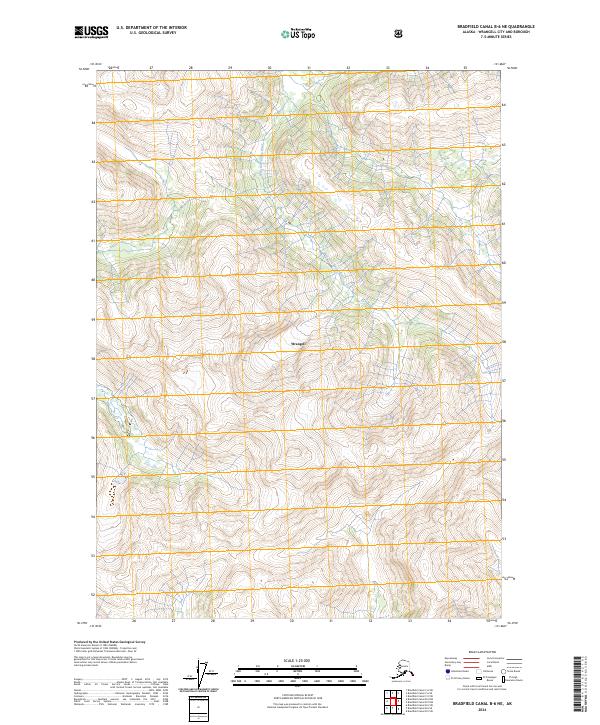
2024 Bradfield Canal B-5 NW
Wrangell Borough, AK
2024 Bradfield Canal B-6 NE
Wrangell Borough, AK

2024 Bradfield Canal B-6 NW
Wrangell Borough, AK
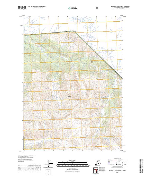
2024 Bradfield Canal C-5 SW
Wrangell Borough, AK
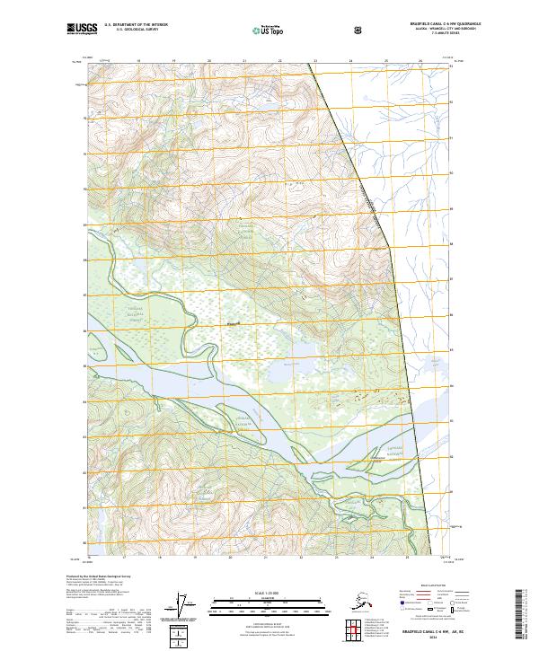
2024 Bradfield Canal C-6 NW
Wrangell Borough, AK
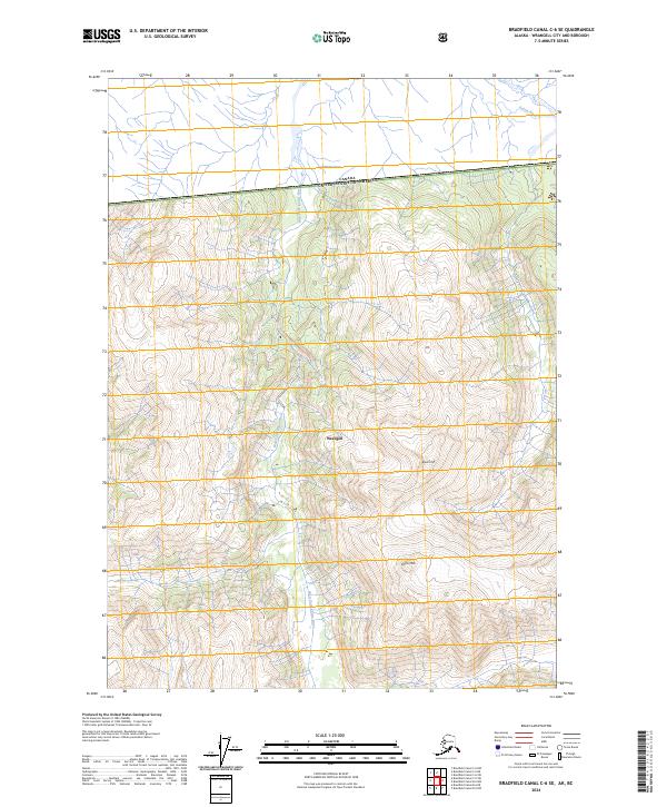
2024 Bradfield Canal C-6 SE
Wrangell Borough, AK
2024 Bradfield Canal C-6 SW
Wrangell Borough, AK
2024 Bradfield Canal D-6 SW
Wrangell Borough, AK
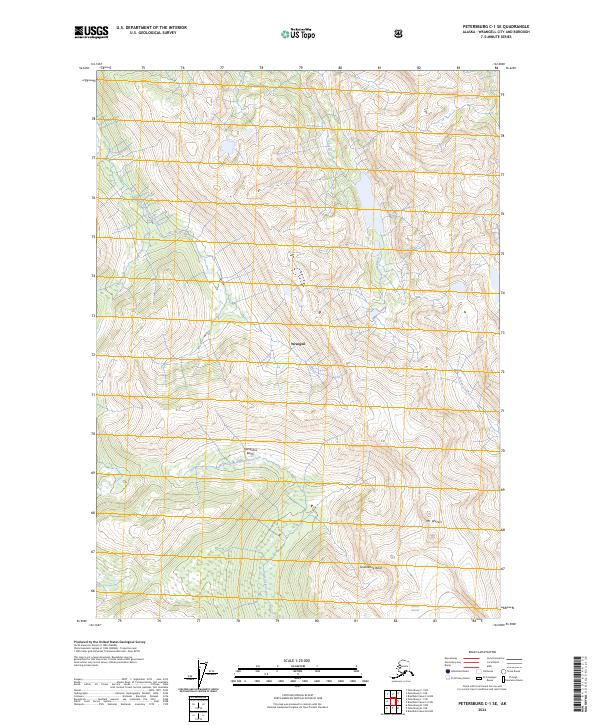
2024 Petersburg C-1 NE
Wrangell Borough, AK
2024 Petersburg C-1 NW
Wrangell Borough, AK
2024 Petersburg C-1 SE
Wrangell Borough, AK
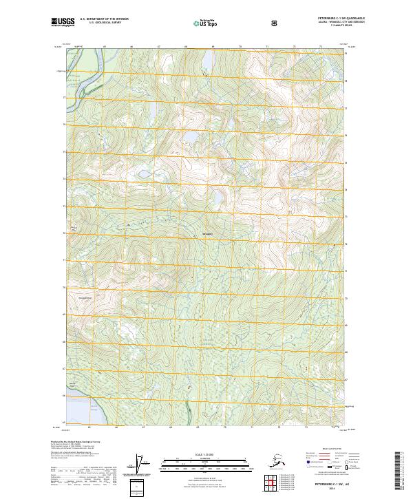
2024 Petersburg C-1 SW
Wrangell Borough, AK
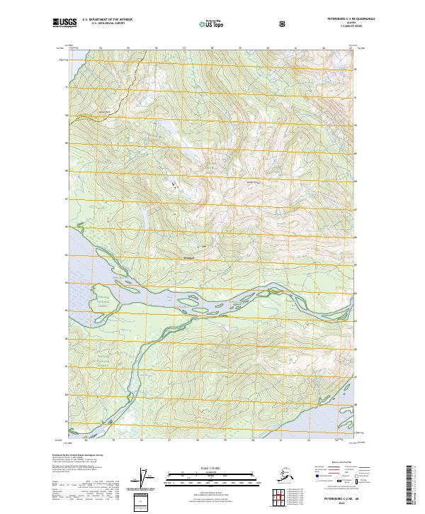
2024 Petersburg C-2 NE
Wrangell Borough, AK
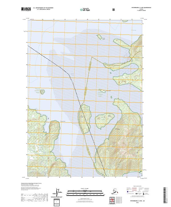
2024 Petersburg C-2 NW
Wrangell Borough, AK
2024 Petersburg C-2 SE
Wrangell Borough, AK
2024 Petersburg C-2 SW
Wrangell Borough, AK
2024 Petersburg D-1 NE
Wrangell Borough, AK
2024 Petersburg D-1 NW
Wrangell Borough, AK
2024 Petersburg D-1 SE
Wrangell Borough, AK
2024 Petersburg D-1 SW
Wrangell Borough, AK
2024 Petersburg D-2 SE
Wrangell Borough, AK