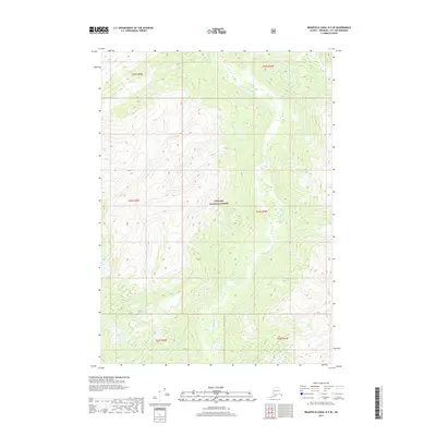
2017 Map of Bradfield Canal B-5 SE
USGS Topo · Published 2017About this map
The glacial valleys and towering peaks of the Tongass National Forest define this landscape within the Wrangell City and Borough. The central drainage is formed by the N Fork Bradfield River, which winds through the steep topography as it flows southward. This 2017 study illustrates the intersection of several public land survey divisions, including t64s r89e and t64s r90e. The map reveals a wilderness area devoid of modern infrastructure, showing the natural state of the Alaskan interior before any significant human development or road networks reached these specific reaches of the North Fork. It serves as a detailed record of the hydrography and elevation contours that shape this remote coastal mountain range.
Find a feature on this map
8 named features on this map. Tap any name to fly to it.
Don’t see what you’re looking for? This feature index may not catch every label — zoom into the map to look around manually.
Map Details
Editions of this 2017 Bradfield Canal B-5 SE Map
This is the sole edition of this map. No revisions or reprints were ever made.
Other maps of this area

1951 · Bradfield Canal
USGS Topo · 1:250,000

1954 · Bradfield Canal
USGS Topo · 1:250,000

1955 · Bradfield canal A-4
USGS Topo · 1:63,360

1955 · Bradfield canal B-5
USGS Topo · 1:63,360

1955 · Bradfield canal B-4
USGS Topo · 1:63,360

1955 · Bradfield Canal A-5
USGS Topo · 1:63,360

1955 · Bradfield Canal
USGS Topo · 1:250,000
1995 · Bradfield Canal A-4
USGS Topo · 1:63,360
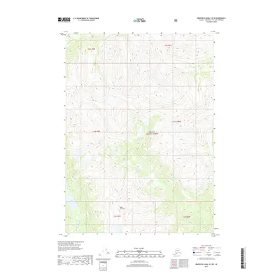
2017 · Bradfield Canal B-5 SW
USGS Topo · 1:25,000
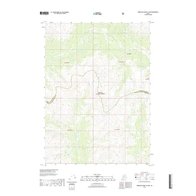
2017 · Bradfield Canal A-4 NW
USGS Topo · 1:25,000