
1955 Map of Bradfield canal B-4
USGS Topo · Published 1959About this map
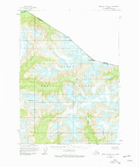
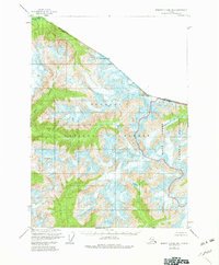
Tongass National Forest dominates this mid-century survey of the rugged Alaskan panhandle, where glaciers and steep topography define the landscape at the international border. The drainage systems of the North Fork and East Fork Bradfield River carve through high peaks, including Mt Pounder and Mt Lewis Cass, which sit directly on the boundary between Canada and the United States. The lack of any roads or trails in 1955 emphasizes the isolation of this region during the post-war era. To the northeast, the Blue River flows through deep valleys toward the British Columbia line. This survey, compiled from 1948 aerial photography and field annotated in 1955, represents the topographical state of this wilderness before modern infrastructure reached deep into the coastal range.
Find a feature on this map
9 named features on this map. Tap any name to fly to it.
Don’t see what you’re looking for? This feature index may not catch every label — zoom into the map to look around manually.
Map Details
Editions of this 1955 Bradfield canal B-4 Map
3 editions found
Other maps of this area

1951 · Bradfield Canal
USGS Topo · 1:250,000

1954 · Bradfield Canal
USGS Topo · 1:250,000

1955 · Bradfield canal B-3
USGS Topo · 1:63,360

1955 · Bradfield canal A-4
USGS Topo · 1:63,360

1955 · Bradfield canal B-5
USGS Topo · 1:63,360

1955 · Bradfield Canal A-5
USGS Topo · 1:63,360
1955 · Bradfield Canal C-5
USGS Topo · 1:63,360

1955 · Bradfield canal A-3
USGS Topo · 1:63,360

1955 · Bradfield Canal
USGS Topo · 1:250,000
1995 · Bradfield Canal A-4
USGS Topo · 1:63,360