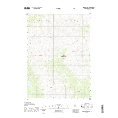
2017 Map of Bradfield Canal B-5 SW
USGS Topo · Published 2017About this map
Kapho Mountains dominate the southern reach of this terrain, where glacial waters feed into complex river systems within the Tongass National Forest. The map traces the winding course of the Harding River as it cuts through the northwest, while the White River establishes a central drainage path through the high-elevation topography. This 2017 survey illustrates a wilderness landscape defined by dramatic vertical relief, culminating in features like Fall Lake. The absence of developed roads or settlements highlights the isolation of this portion of the Wrangell City and Borough, where the environment remains shaped almost entirely by hydrological patterns and the steep slopes of the coastal ranges.
Find a feature on this map
11 named features on this map. Tap any name to fly to it.
Don’t see what you’re looking for? This feature index may not catch every label — zoom into the map to look around manually.
Map Details
Editions of this 2017 Bradfield Canal B-5 SW Map
This is the sole edition of this map. No revisions or reprints were ever made.
Other maps of this area

1951 · Bradfield Canal
USGS Topo · 1:250,000

1954 · Bradfield Canal
USGS Topo · 1:250,000

1955 · Bradfield canal A-6
USGS Topo · 1:63,360

1955 · Bradfield canal B-5
USGS Topo · 1:63,360

1955 · Bradfield Canal A-5
USGS Topo · 1:63,360

1955 · Bradfield canal B-6
USGS Topo · 1:63,360

1955 · Bradfield Canal
USGS Topo · 1:250,000
2000 · Bradfield Canal B-6
USGS Topo · 1:63,360
2000 · Bradfield Canal A-6
USGS Topo · 1:63,360
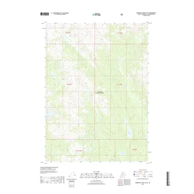
2017 · Bradfield Canal B-6 SE
USGS Topo · 1:25,000