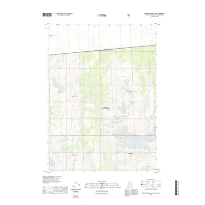
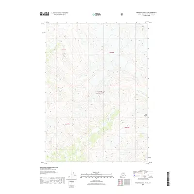
2021 Map of Bradfield Canal C-6 SE
USGS Topo · Published 2021About this map
The Canada United States of America international border divides this 2021 survey of the Coast Mountains, where high-altitude terrain meets the interior of the Tongass National Forest. The landscape is dominated by the glacial drainage of the Katete River and its primary tributary, the W Fork Katete River, which carve deep valleys through the mountain range. This portion of the borderlands is marked by significant elevations and prominent peaks including Cone Mtn and Black Crag. The map illustrates the specific township and range lines, such as t61s r88e, that define the administrative grid of this wilderness at the edge of British Columbia and Alaska.
Find a feature on this map
11 named features on this map. Tap any name to fly to it.
Don’t see what you’re looking for? This feature index may not catch every label — zoom into the map to look around manually.
Map Details
Editions of this 2021 Bradfield Canal C-6 SE Map
This is the sole edition of this map. No revisions or reprints were ever made.
Other maps of this area

1951 · Bradfield Canal
USGS Topo · 1:250,000

1954 · Bradfield Canal
USGS Topo · 1:250,000

1955 · Bradfield canal B-5
USGS Topo · 1:63,360

1955 · Bradfield canal C-6
USGS Topo · 1:63,360

1955 · Bradfield canal B-6
USGS Topo · 1:63,360
1955 · Bradfield Canal C-5
USGS Topo · 1:63,360

1955 · Bradfield Canal
USGS Topo · 1:250,000
2000 · Bradfield Canal B-6
USGS Topo · 1:63,360
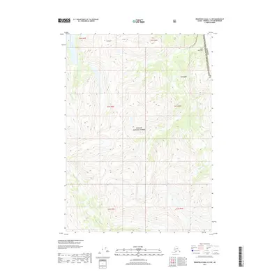
2017 · Bradfield Canal C-6 SW
USGS Topo · 1:25,000
2017 · Bradfield Canal B-5 NW
USGS Topo · 1:25,000