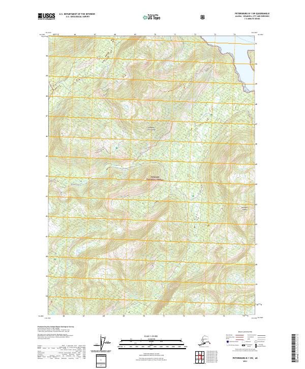
2021 Map of Petersburg B-1 SW
USGS Topo · Published 2021About this map
Wrangell Island within the Alexander Archipelago is the focus of this detailed topographical study, which reveals the dense drainage networks and steep terrain of the Tongass National Forest. The landscape is dominated by the watersheds of Pats Creek and McCormick Creek, where the intricate contour lines illustrate the elevation gains typical of Southeast Alaska. Access to the interior is marked by the Zimovia FH 16 corridor and specific paths such as Garnet Trl and the Big Hollow Trl.
Find a feature on this map
20 named features on this map. Tap any name to fly to it.
Don’t see what you’re looking for? This feature index may not catch every label — zoom into the map to look around manually.
Map Details
Editions of this 2021 Petersburg B-1 SW Map
This is the sole edition of this map. No revisions or reprints were ever made.
Other maps of this area

1948 · Petersburg A-1
USGS Topo · 1:63,360

1948 · Petersburg A-2
USGS Topo · 1:63,360

1948 · Petersburg B-2
USGS Topo · 1:63,360

1948 · Petersburg B-1
USGS Topo · 1:63,360

1951 · Petersburg A-1
USGS Topo · 1:63,360

1952 · Petersburg
USGS Topo · 1:250,000

1953 · Petersburg A-2
USGS Topo · 1:63,360

1953 · Petersburg B-2
USGS Topo · 1:63,360

1955 · Petersburg B-1
USGS Topo · 1:63,360

1960 · Petersburg
USGS Topo · 1:250,000