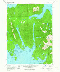
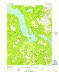
1953 Map of Petersburg A-2
USGS Topo · Published 1964About this map
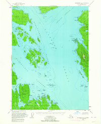
Etolin Island dominates this mid-century topographic record, showing the complex network of deep-water inlets and high peaks within the Tongass National Forest. The map documents the industrial and maritime footprint of the era, notably the presence of Cannery Pt at the mouth of Burnett Inlet and several Cabins scattered near the shoreline of Zimovia Strait. The landscape is defined by the sharp elevations of the Keating Range and prominent summits like Alice Peak and Virginia Peak. The placement of Hatchery Lake and Falls Creek suggests a reliance on the island's freshwater resources and tidal access points like Rocky Bay. This 1950s annotation provides a detailed look at the island's geography before significant modern development, preserving the locations of coastal landmarks such as Mosman Island and the isolated settlement at Stanhope.
Find a feature on this map
43 named features on this map. Tap any name to fly to it.
Don’t see what you’re looking for? This feature index may not catch every label — zoom into the map to look around manually.
Map Details
Editions of this 1953 Petersburg A-2 Map
3 editions found
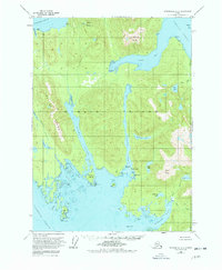

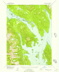
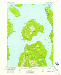
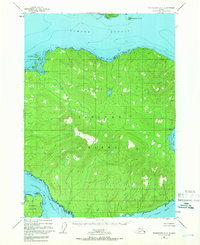
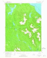
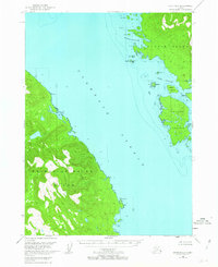
Other maps of this area
1948 · Petersburg A-1
USGS Topo · 1:63,360

1948 · Petersburg A-2
USGS Topo · 1:63,360
1948 · Petersburg B-2
USGS Topo · 1:63,360
1948 · Petersburg B-1
USGS Topo · 1:63,360
1948 · Petersburg B-3
USGS Topo · 1:63,360
1949 · Craig D-3
USGS Topo · 1:63,360
1949 · Craig D-2
USGS Topo · 1:63,360
1949 · Petersburg A-3
USGS Topo · 1:63,360
1949 · Craig D-1
USGS Topo · 1:63,360

1950 · Craig D-3
USGS Topo · 1:63,360