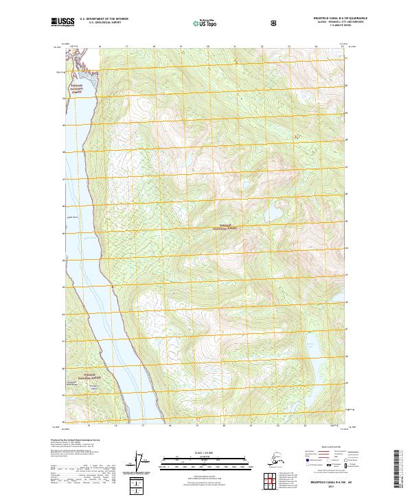
2021 Map of Bradfield Canal B-6 SW
USGS Topo · Published 2021About this map
Wrangell Island dominates the western portion of this survey, separated from the mainland by the deep waters of Blake Channel. As part of the Alexander Archipelago, the landscape is defined by the high, wooded elevations of the Tongass National Forest, where steep drainages like Oerns Cr and Marten Cr feed into the maritime corridors. Along the eastern interior, high-altitude bodies of water such as Marten Lake and Clay Lake sit nestled within the glacial-carved terrain. The map provides a detailed look at the interface between the maritime boundary at Capel Point and the heavily forested slopes that characterize this part of Southeast Alaska.
Find a feature on this map
15 named features on this map. Tap any name to fly to it.
Don’t see what you’re looking for? This feature index may not catch every label — zoom into the map to look around manually.
Map Details
Editions of this 2021 Bradfield Canal B-6 SW Map
This is the sole edition of this map. No revisions or reprints were ever made.
Other maps of this area

1948 · Petersburg A-1
USGS Topo · 1:63,360

1948 · Petersburg B-1
USGS Topo · 1:63,360

1951 · Bradfield Canal
USGS Topo · 1:250,000

1951 · Petersburg A-1
USGS Topo · 1:63,360

1952 · Petersburg
USGS Topo · 1:250,000

1954 · Bradfield Canal
USGS Topo · 1:250,000

1955 · Bradfield canal A-6
USGS Topo · 1:63,360

1955 · Bradfield canal B-6
USGS Topo · 1:63,360

1955 · Petersburg B-1
USGS Topo · 1:63,360

1955 · Bradfield Canal
USGS Topo · 1:250,000