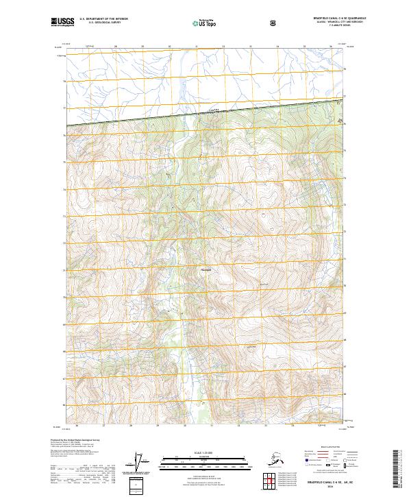
2024 Map of Bradfield Canal C-6 SE
USGS Topo · Published 2024About this map
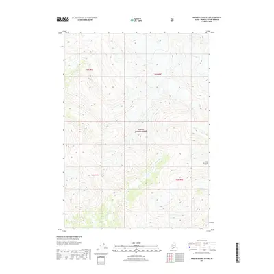
The Canada-United States border cuts through the northern reaches of this topographic survey, marking the international boundary within the complex terrain of Wrangell. This high-latitude landscape is defined by the drainage systems of the Katete River and its major tributary, the West Fork Katete River, which carve through deep valleys between significant peaks such as Black Crag and Cone Mtn. The western portion of the map is dominated by the protected expanse of the Stikine-Leconte Wilderness, where the absence of roads or permanent structures reflects the primitive state of this coastal Alaskan environment. Mapping and resource agencies such as the U.S. Geological Survey and the US Forest Service provide the underlying data for this modern record of the region's hydrography and public land boundaries.
Find a feature on this map
11 named features on this map. Tap any name to fly to it.
Don’t see what you’re looking for? This feature index may not catch every label — zoom into the map to look around manually.
Map Details
Editions of this 2024 Bradfield Canal C-6 SE Map
This is the sole edition of this map. No revisions or reprints were ever made.
Other maps of this area

1951 · Bradfield Canal
USGS Topo · 1:250,000

1954 · Bradfield Canal
USGS Topo · 1:250,000

1955 · Bradfield canal B-5
USGS Topo · 1:63,360

1955 · Bradfield canal C-6
USGS Topo · 1:63,360

1955 · Bradfield canal B-6
USGS Topo · 1:63,360
1955 · Bradfield Canal C-5
USGS Topo · 1:63,360

1955 · Bradfield Canal
USGS Topo · 1:250,000
2000 · Bradfield Canal B-6
USGS Topo · 1:63,360
2017 · Bradfield Canal C-6 SW
USGS Topo · 1:25,000
2017 · Bradfield Canal B-5 NW
USGS Topo · 1:25,000