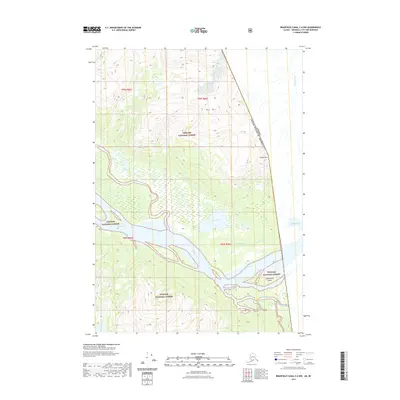
2021 Map of Bradfield Canal C-6 NW
USGS Topo · Published 2021About this map
The Stikine River forms the central artery of this coastal wilderness, winding through a complex network of waterways and islands at the border between the United States and Canada. This remote landscape within the Tongass National Forest is defined by its dramatic hydrology, where the main river channel branches into several significant tributaries including the Ketili River, the Tasakili River, and the Kikake River. Inland, the terrain rises sharply to peaks like Big Mtn and Elbow Mtn, while the lowlands are dominated by expansive wetlands and bodies of water such as Barnes Lake and Kakati Lake. The intricate connection of Guerin Slough and Red Slough near Cottonwood Island illustrates the shifting nature of the river delta, providing a detailed record of the natural drainage patterns in the Alaska-British Columbia borderlands.
Find a feature on this map
21 named features on this map. Tap any name to fly to it.
Don’t see what you’re looking for? This feature index may not catch every label — zoom into the map to look around manually.
Map Details
Editions of this 2021 Bradfield Canal C-6 NW Map
This is the sole edition of this map. No revisions or reprints were ever made.
Other maps of this area

1948 · Petersburg C-1
USGS Topo · 1:63,360

1951 · Bradfield Canal
USGS Topo · 1:250,000

1952 · Petersburg
USGS Topo · 1:250,000

1953 · Petersburg C-1
USGS Topo · 1:63,360

1954 · Bradfield Canal
USGS Topo · 1:250,000

1955 · Bradfield canal D-6
USGS Topo · 1:63,360

1955 · Bradfield canal C-6
USGS Topo · 1:63,360

1955 · Bradfield Canal
USGS Topo · 1:250,000

1960 · Petersburg
USGS Topo · 1:250,000

1961 · Petersburg D-1
USGS Topo · 1:63,360