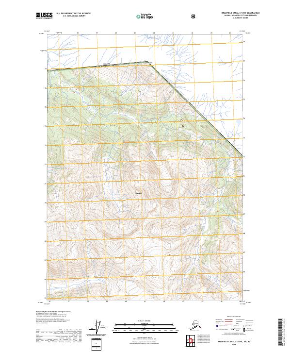
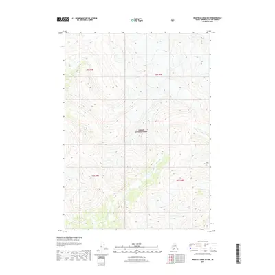
2024 Map of Bradfield Canal C-5 SW
USGS Topo · Published 2024About this map
The international boundary between Canada and the United States defines the northern edge of this high-latitude Alaskan landscape within the Wrangell borough. Dominated by the winding course of the Katete River, the terrain transitions from the river valley to the prominent heights of Mt Whipple in the northeast. The drainage patterns of Whipple Creek and various unnamed tributaries illustrate a remote wilderness environment shaped by steep elevation changes and glaciated geography. This 2024 map provides a precise look at the contemporary boundary lines and natural hydrography of the region before any significant human development or industrial infrastructure has altered the valley floors.
Find a feature on this map
9 named features on this map. Tap any name to fly to it.
Don’t see what you’re looking for? This feature index may not catch every label — zoom into the map to look around manually.
Map Details
Editions of this 2024 Bradfield Canal C-5 SW Map
This is the sole edition of this map. No revisions or reprints were ever made.
Other maps of this area

1951 · Bradfield Canal
USGS Topo · 1:250,000

1954 · Bradfield Canal
USGS Topo · 1:250,000

1955 · Bradfield canal B-5
USGS Topo · 1:63,360

1955 · Bradfield canal C-6
USGS Topo · 1:63,360

1955 · Bradfield canal B-6
USGS Topo · 1:63,360
1955 · Bradfield Canal C-5
USGS Topo · 1:63,360

1955 · Bradfield Canal
USGS Topo · 1:250,000
2000 · Bradfield Canal B-6
USGS Topo · 1:63,360
2017 · Bradfield Canal B-5 NE
USGS Topo · 1:25,000
2017 · Bradfield Canal B-5 NW
USGS Topo · 1:25,000