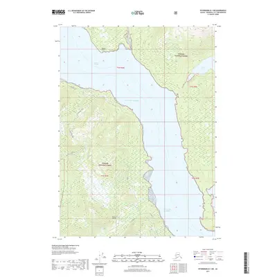
2017 Map of Petersburg B-1 NW
USGS Topo · Published 2017About this map
The Tongass National Forest dominates this coastal landscape, where the waters of the Gulf of Alaska and Eastern Passage meet the steep terrain of Wrangell Island. This map captures the intricate shoreline and interior navigation routes of the region, including the notable Babbler Point and the dramatic topographic rise of The Eye Opener. Land travel is represented by a network of established paths through the timber, such as the Mill Creek Trail and Institute Creek Trail, which provide access to interior water bodies like Virginia Lake. These trails follow the natural drainage of features like Institute Cr, illustrating the reliance on terrestrial routes in a region defined by its maritime boundaries. The presence of the N Wrangell Trail and Spur Road suggests the ongoing management and use of these coastal forest lands for recreation and resource access.
Find a feature on this map
15 named features on this map. Tap any name to fly to it.
Don’t see what you’re looking for? This feature index may not catch every label — zoom into the map to look around manually.
Map Details
Editions of this 2017 Petersburg B-1 NW Map
This is the sole edition of this map. No revisions or reprints were ever made.
Other maps of this area

1948 · Petersburg C-1
USGS Topo · 1:63,360

1948 · Petersburg C-2
USGS Topo · 1:63,360

1948 · Petersburg B-2
USGS Topo · 1:63,360

1948 · Petersburg B-1
USGS Topo · 1:63,360

1951 · Petersburg C-2
USGS Topo · 1:63,360

1952 · Petersburg
USGS Topo · 1:250,000

1953 · Petersburg C-1
USGS Topo · 1:63,360

1953 · Petersburg B-2
USGS Topo · 1:63,360

1955 · Petersburg B-1
USGS Topo · 1:63,360

1960 · Petersburg
USGS Topo · 1:250,000