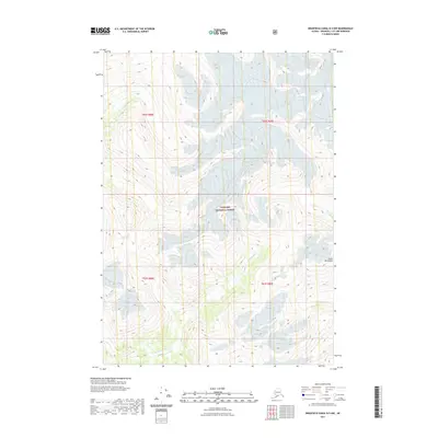
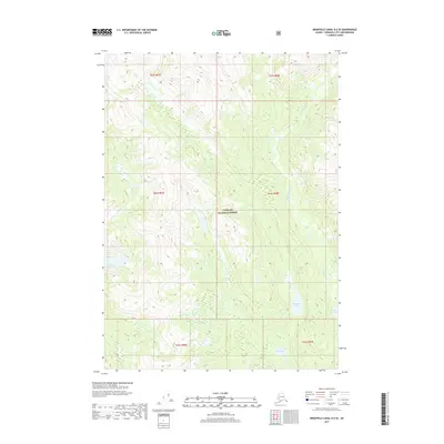
2021 Map of Bradfield Canal B-5 NW
USGS Topo · Published 2021About this map
Tongass National Forest dominates this Alaskan landscape, where the high-altitude terrain of the Coast Mountains is defined by extensive ice fields and glacial features. The Harding River carves its way through the steep topography, moving southward toward the Bradfield Canal. This 2021 topographic survey provides a precise modern record of the township and range divisions across Wrangell City and Borough, including segments of t62s r88e and t63s r89e. The map is particularly striking for its depiction of the massive ice masses that persist within the wilderness, offering researchers a contemporary benchmark for studying glacial extent and high-country hydrology in the Pacific Northwest.
Find a feature on this map
8 named features on this map. Tap any name to fly to it.
Don’t see what you’re looking for? This feature index may not catch every label — zoom into the map to look around manually.
Map Details
Editions of this 2021 Bradfield Canal B-5 NW Map
This is the sole edition of this map. No revisions or reprints were ever made.
Other maps of this area

1951 · Bradfield Canal
USGS Topo · 1:250,000

1954 · Bradfield Canal
USGS Topo · 1:250,000

1955 · Bradfield canal B-5
USGS Topo · 1:63,360

1955 · Bradfield canal C-6
USGS Topo · 1:63,360

1955 · Bradfield canal B-6
USGS Topo · 1:63,360
1955 · Bradfield Canal C-5
USGS Topo · 1:63,360

1955 · Bradfield Canal
USGS Topo · 1:250,000
2000 · Bradfield Canal B-6
USGS Topo · 1:63,360
2017 · Bradfield Canal B-5 SW
USGS Topo · 1:25,000
2017 · Bradfield Canal B-6 SE
USGS Topo · 1:25,000