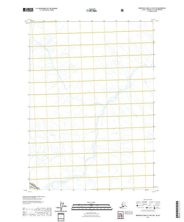
2021 Map of Bradfield Canal C-5 OE E SW
USGS Topo · Published 2021About this map
The Coast Mountains dominate this 2021 landscape within the Wrangell city and borough, where the international boundary between Canada and the United States is defined by high-altitude terrain. The drainage network is the primary characteristic of this remote area, centered on the Craig River as it receives several tributaries. Significant watercourses include Dick Creek and its smaller branch Dick Cr, alongside Simma Cr and Brunt Cr. This map represents a strictly natural environment, documenting the exact paths of mountain waterways before they reach larger basins, providing a modern record of glacial-fed river systems in a region defined by its lack of road infrastructure and human settlement.
Find a feature on this map
8 named features on this map. Tap any name to fly to it.
Don’t see what you’re looking for? This feature index may not catch every label — zoom into the map to look around manually.
Map Details
Editions of this 2021 Bradfield Canal C-5 OE E SW Map
This is the sole edition of this map. No revisions or reprints were ever made.
Other maps of this area

1951 · Bradfield Canal
USGS Topo · 1:250,000

1954 · Bradfield Canal
USGS Topo · 1:250,000

1955 · Bradfield canal B-5
USGS Topo · 1:63,360

1955 · Bradfield canal B-4
USGS Topo · 1:63,360
1955 · Bradfield Canal C-5
USGS Topo · 1:63,360

1955 · Bradfield Canal
USGS Topo · 1:250,000
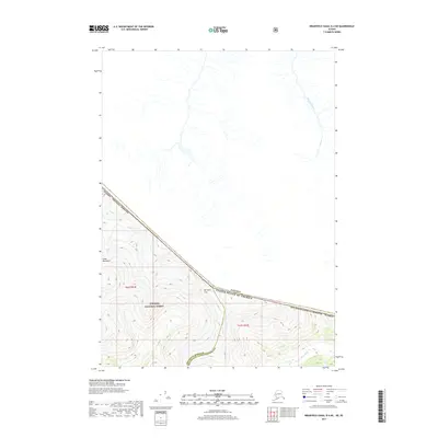
2017 · Bradfield Canal B-4 NE
USGS Topo · 1:25,000
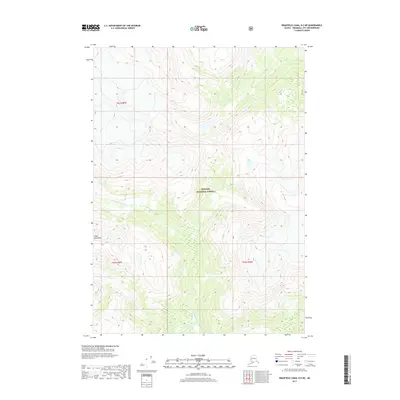
2017 · Bradfield Canal B-5 NE
USGS Topo · 1:25,000
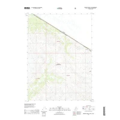
2017 · Bradfield Canal B-4 NW
USGS Topo · 1:25,000
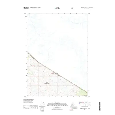
2017 · Bradfield Canal C-5 SE
USGS Topo · 1:25,000