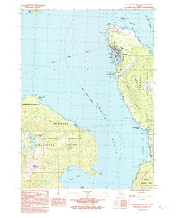
1992 Map of Petersburg B-2 NE
USGS Topo · Published 1992About this map
Wrangell serves as the focal point of this maritime landscape, situated at the northern end of Wrangell Island where the Marine Highway meets the protected waters of Wrangell Harbor. The 1982 data shows a detailed coastal community characterized by its integration with the sea, featuring the Chief Shakes I landmark and significant cultural sites like the Petroglyphs near Highfield. To the west across Zimovia Strait, the topography of Woronkofski Island rises sharply toward Mount Woronkofski, while the Woronkofski Point Lighthouse National Reserve anchors the northwestern shoreline.
Find a feature on this map
48 named features on this map. Tap any name to fly to it.
Don’t see what you’re looking for? This feature index may not catch every label — zoom into the map to look around manually.
Map Details
Editions of this 1992 Petersburg B-2 NE Map
This is the sole edition of this map. No revisions or reprints were ever made.
Other maps of this area

1948 · Petersburg C-1
USGS Topo · 1:63,360

1948 · Petersburg C-2
USGS Topo · 1:63,360

1948 · Petersburg B-2
USGS Topo · 1:63,360

1948 · Petersburg B-1
USGS Topo · 1:63,360

1951 · Petersburg C-2
USGS Topo · 1:63,360

1952 · Petersburg
USGS Topo · 1:250,000

1953 · Petersburg C-1
USGS Topo · 1:63,360

1953 · Petersburg B-2
USGS Topo · 1:63,360

1955 · Petersburg B-1
USGS Topo · 1:63,360

1960 · Petersburg
USGS Topo · 1:250,000