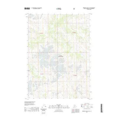
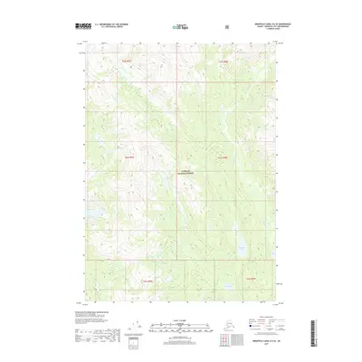
2021 Map of Bradfield Canal B-6 NE
USGS Topo · Published 2021About this map
Tongass National Forest dominates this section of the Alaskan panhandle, where high-altitude glaciated peaks of the Coast Mountains drop into carved drainage basins. The W Fork Katete River flows through the central portion of the quadrangle, serving as a primary hydrological feature in an otherwise roadless and undeveloped landscape. Published by the U.S. Geological Survey in cooperation with the Forest Service, this map illustrates the complex topography of the Alexander Archipelago's mainland interior. Researchers will find a detailed representation of the ice fields and ridge lines that define this portion of Wrangell City and Borough, captured through high-resolution modern elevation data.
Find a feature on this map
7 named features on this map. Tap any name to fly to it.
Don’t see what you’re looking for? This feature index may not catch every label — zoom into the map to look around manually.
Map Details
Editions of this 2021 Bradfield Canal B-6 NE Map
This is the sole edition of this map. No revisions or reprints were ever made.
Other maps of this area

1951 · Bradfield Canal
USGS Topo · 1:250,000

1954 · Bradfield Canal
USGS Topo · 1:250,000

1955 · Bradfield canal B-5
USGS Topo · 1:63,360

1955 · Bradfield canal C-6
USGS Topo · 1:63,360

1955 · Bradfield canal B-6
USGS Topo · 1:63,360
1955 · Bradfield Canal C-5
USGS Topo · 1:63,360

1955 · Bradfield Canal
USGS Topo · 1:250,000
2000 · Bradfield Canal B-6
USGS Topo · 1:63,360
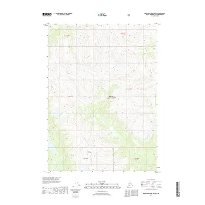
2017 · Bradfield Canal B-5 SW
USGS Topo · 1:25,000
2017 · Bradfield Canal B-6 SE
USGS Topo · 1:25,000