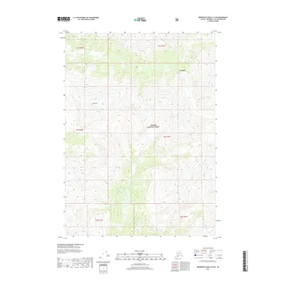
2017 Map of Bradfield Canal B-4 SW
USGS Topo · Published 2017About this map
Tongass National Forest dominates this topographic view of the Alaskan wilderness, showcasing the extreme verticality of the Southeast Alaska landscape. The terrain is defined by dramatic elevation changes, notably at Mt Cloud, where the topography rises sharply from the surrounding valleys. This area, located within the Wrangell city and borough, remains largely roadless and undeveloped, emphasizing the importance of natural land management by the U.S. Forest Service in this era. The map provides a precise layout of the public land survey system, including townships such as t63s r91e and t64s r91e, which are critical for identifying specific parcels within the dense forest canopy and high-altitude slopes.
Find a feature on this map
9 named features on this map. Tap any name to fly to it.
Don’t see what you’re looking for? This feature index may not catch every label — zoom into the map to look around manually.
Map Details
Editions of this 2017 Bradfield Canal B-4 SW Map
This is the sole edition of this map. No revisions or reprints were ever made.
Other maps of this area

1951 · Bradfield Canal
USGS Topo · 1:250,000

1954 · Bradfield Canal
USGS Topo · 1:250,000

1955 · Bradfield canal A-4
USGS Topo · 1:63,360

1955 · Bradfield canal B-5
USGS Topo · 1:63,360

1955 · Bradfield canal B-4
USGS Topo · 1:63,360

1955 · Bradfield Canal A-5
USGS Topo · 1:63,360

1955 · Bradfield Canal
USGS Topo · 1:250,000
1995 · Bradfield Canal A-4
USGS Topo · 1:63,360
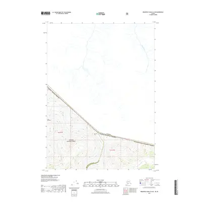
2017 · Bradfield Canal B-4 NE
USGS Topo · 1:25,000
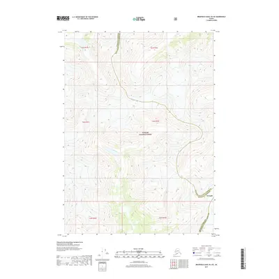
2017 · Bradfield Canal B-4 SE
USGS Topo · 1:25,000