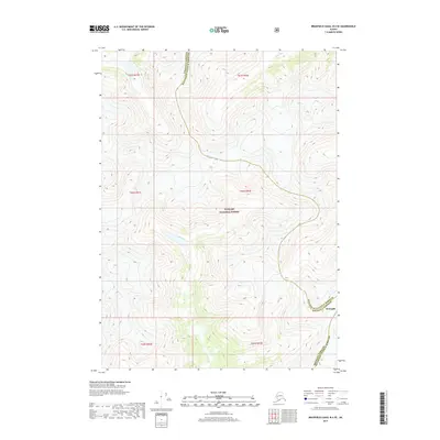
2017 Map of Bradfield Canal B-4 SE
USGS Topo · Published 2017About this map
Tongass National Forest dominates this Alaskan landscape, where the dramatic elevation change from sea level to over 5,000 feet is recorded through dense contour mapping. The area serves as a significant administrative boundary, showing the zigzagging border between Wrangell Borough and Ketchikan Gateway Borough. In the north, the Blue River cuts through the high-altitude terrain, illustrating the glacial and fluvial processes that continue to shape this portion of the Alexander Archipelago. While the settlement of Wrangell is indicated at the borough juncture, the map primarily illustrates the wild, roadless character of the Southeast Alaskan panhandle, emphasizing the region's reliance on natural waterways and air travel rather than a terrestrial road network.
Find a feature on this map
10 named features on this map. Tap any name to fly to it.
Don’t see what you’re looking for? This feature index may not catch every label — zoom into the map to look around manually.
Map Details
Editions of this 2017 Bradfield Canal B-4 SE Map
This is the sole edition of this map. No revisions or reprints were ever made.
Other maps of this area

1951 · Bradfield Canal
USGS Topo · 1:250,000

1954 · Bradfield Canal
USGS Topo · 1:250,000

1955 · Bradfield canal B-3
USGS Topo · 1:63,360

1955 · Bradfield canal A-4
USGS Topo · 1:63,360

1955 · Bradfield canal B-4
USGS Topo · 1:63,360

1955 · Bradfield canal A-3
USGS Topo · 1:63,360

1955 · Bradfield Canal
USGS Topo · 1:250,000
1995 · Bradfield Canal A-4
USGS Topo · 1:63,360
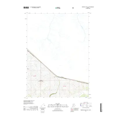
2017 · Bradfield Canal B-4 NE
USGS Topo · 1:25,000
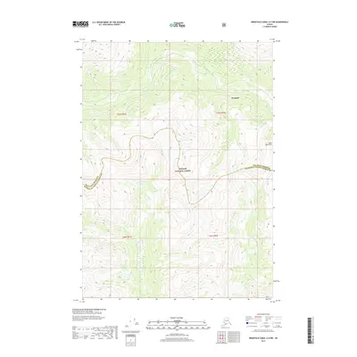
2017 · Bradfield Canal A-4 NW
USGS Topo · 1:25,000