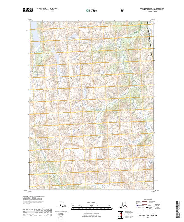
2024 Map of Bradfield Canal C-6 SW
USGS Topo · Published 2024About this map
The Stikine-Leconte Wilderness dominates the central portion of this 2024 map, preserving a landscape of extreme relief and coastal drainage within the Wrangell region. This wilderness area is defined by sharp elevation changes, anchored by peaks like Mt Flemer in the north and Mt Cote along the international boundary. The hydrological network is led by the Kikahe River and Aaron Creek, which carve deep valleys through the coastal range. Along the eastern edge of the sheet, the United States of America Canada border runs along the high ridgelines, marking the terrestrial divide. The absence of roads or permanent settlements within these townships emphasizes the inaccessible character of this Southeast Alaska terrain, where navigation relies entirely on following watercourses like Goat Creek or navigating the high passes between the coastal peaks.
Find a feature on this map
14 named features on this map. Tap any name to fly to it.
Don’t see what you’re looking for? This feature index may not catch every label — zoom into the map to look around manually.
Map Details
Editions of this 2024 Bradfield Canal C-6 SW Map
This is the sole edition of this map. No revisions or reprints were ever made.
Other maps of this area

1948 · Petersburg C-1
USGS Topo · 1:63,360

1948 · Petersburg B-1
USGS Topo · 1:63,360

1951 · Bradfield Canal
USGS Topo · 1:250,000

1952 · Petersburg
USGS Topo · 1:250,000

1953 · Petersburg C-1
USGS Topo · 1:63,360

1954 · Bradfield Canal
USGS Topo · 1:250,000

1955 · Bradfield canal C-6
USGS Topo · 1:63,360

1955 · Bradfield canal B-6
USGS Topo · 1:63,360

1955 · Petersburg B-1
USGS Topo · 1:63,360

1955 · Bradfield Canal
USGS Topo · 1:250,000