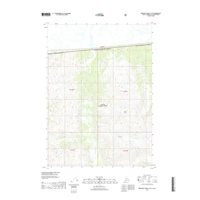
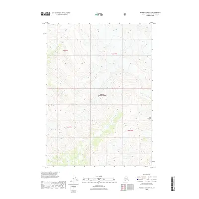
2017 Map of Bradfield Canal C-6 SE
USGS Topo · Published 2017About this map
Tongass National Forest dominates this high-altitude landscape along the international boundary where the United States meets Canada. The terrain is defined by extreme relief, featuring the prominent peaks of Cone Mtn and Black Crag. This 2017 survey details the glaciated topography and the hydrological network of the region, most notably the W Fork Katete River which carves through the central valley. The map documents the precise border between the Alaska Wrangell Borough and British Columbia, providing a detailed look at a remote wilderness area where survey townships like t61s r87e and t62s r88e are demarcated despite the lack of road infrastructure or permanent settlements.
Find a feature on this map
10 named features on this map. Tap any name to fly to it.
Don’t see what you’re looking for? This feature index may not catch every label — zoom into the map to look around manually.
Map Details
Editions of this 2017 Bradfield Canal C-6 SE Map
This is the sole edition of this map. No revisions or reprints were ever made.
Other maps of this area

1951 · Bradfield Canal
USGS Topo · 1:250,000

1954 · Bradfield Canal
USGS Topo · 1:250,000

1955 · Bradfield canal B-5
USGS Topo · 1:63,360

1955 · Bradfield canal C-6
USGS Topo · 1:63,360

1955 · Bradfield canal B-6
USGS Topo · 1:63,360
1955 · Bradfield Canal C-5
USGS Topo · 1:63,360

1955 · Bradfield Canal
USGS Topo · 1:250,000
2000 · Bradfield Canal B-6
USGS Topo · 1:63,360
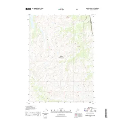
2017 · Bradfield Canal C-6 SW
USGS Topo · 1:25,000
2017 · Bradfield Canal B-5 NW
USGS Topo · 1:25,000