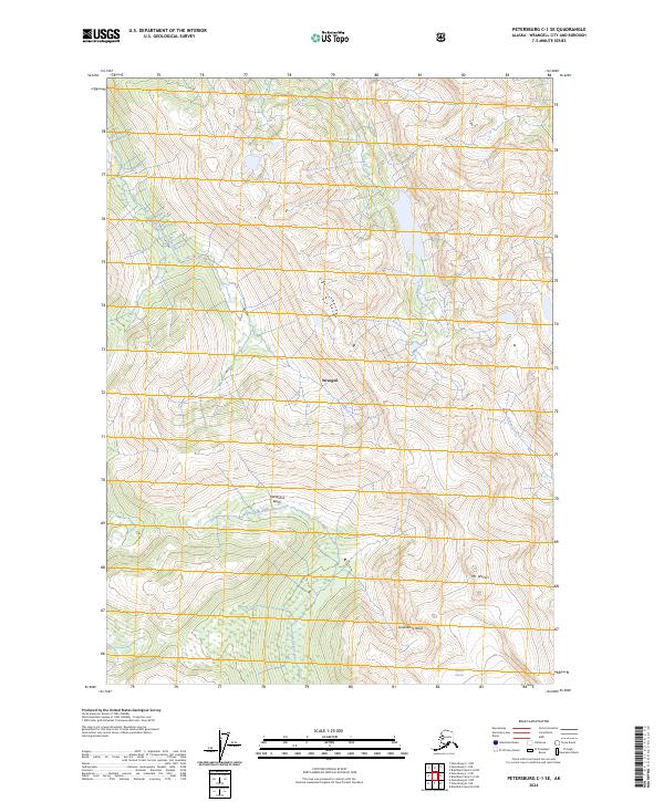
2024 Map of Petersburg C-1 SE
USGS Topo · Published 2024About this map
Stikine-Leconte Wilderness dominates the northern and central portions of this Southeast Alaskan landscape, preserving a reach of the coastal mountains defined by dramatic elevation changes and glaciation. The terrain rises sharply to Mt Waters in the southeast, where the Nelson Glacier remains a prominent feature of the high-country hydrology. Drainage patterns are established by several major watercourses, including Andrew Creek and Aaron Creek, which carve through the steep topography of Wrangell. Historically significant locations like Groundhog Basin and Horseshoe Basin indicate the mineral and exploration interests that once drew prospectors to these remote elevations. The map provides a clear record of the watershed boundaries, including the South Fork Andrew Creek and Porterfield Creek, illustrating the complex intersection of ice, rock, and freshwater systems in the Alexander Archipelago.
Find a feature on this map
18 named features on this map. Tap any name to fly to it.
Don’t see what you’re looking for? This feature index may not catch every label — zoom into the map to look around manually.
Map Details
Editions of this 2024 Petersburg C-1 SE Map
This is the sole edition of this map. No revisions or reprints were ever made.
Other maps of this area

1948 · Petersburg C-1
USGS Topo · 1:63,360

1948 · Petersburg B-1
USGS Topo · 1:63,360

1951 · Bradfield Canal
USGS Topo · 1:250,000

1952 · Petersburg
USGS Topo · 1:250,000

1953 · Petersburg C-1
USGS Topo · 1:63,360

1954 · Bradfield Canal
USGS Topo · 1:250,000

1955 · Bradfield canal C-6
USGS Topo · 1:63,360

1955 · Bradfield canal B-6
USGS Topo · 1:63,360

1955 · Petersburg B-1
USGS Topo · 1:63,360

1955 · Bradfield Canal
USGS Topo · 1:250,000