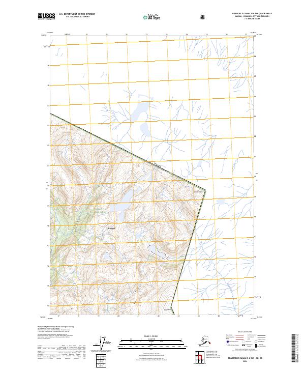
2024 Map of Bradfield Canal D-6 SW
USGS Topo · Published 2024About this map
Wrangell and its surroundings are documented in this contemporary survey of the international boundary between Alaska and Canada. The landscape is dominated by the steep peaks of Mt Gallatin and Mount Talbot, which sit along the divide separating protected lands from British Columbia. Much of the mapped territory is situated within the Tongass National Forest, including the southeastern corner of the Stikine-Leconte Wilderness. The map reveals the intricate network of glacial runoff and waterways, such as the Tasakli River, which cut through the high-elevation terrain. This survey illustrates the modern intersection of public wilderness designations and the precise geopolitical border defined by the Canada United States of America line.
Find a feature on this map
11 named features on this map. Tap any name to fly to it.
Don’t see what you’re looking for? This feature index may not catch every label — zoom into the map to look around manually.
Map Details
Editions of this 2024 Bradfield Canal D-6 SW Map
This is the sole edition of this map. No revisions or reprints were ever made.
Other maps of this area

1948 · Petersburg C-1
USGS Topo · 1:63,360

1951 · Bradfield Canal
USGS Topo · 1:250,000

1952 · Petersburg
USGS Topo · 1:250,000

1953 · Petersburg C-1
USGS Topo · 1:63,360

1954 · Bradfield Canal
USGS Topo · 1:250,000

1955 · Bradfield canal D-6
USGS Topo · 1:63,360

1955 · Bradfield canal C-6
USGS Topo · 1:63,360

1955 · Bradfield Canal
USGS Topo · 1:250,000

1960 · Petersburg
USGS Topo · 1:250,000

1961 · Petersburg D-1
USGS Topo · 1:63,360