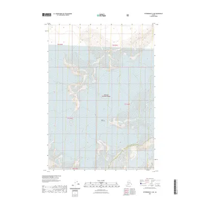
2021 Map of Petersburg D-1 NW
USGS Topo · Published 2021About this map
The Coast Mountains dominate this high-latitude landscape, where the shifting boundaries of the Tongass National Forest meet the administrative line of the Petersburg Borough Wrangell City and Borough. This 2021 survey illustrates the complex glaciology of southeast Alaska, focusing on the expansive ice fields and drainage patterns of the LeConte Glacier and Shakes Glacier. The topography is defined by extreme relief and permanent ice, illustrating the geological transition from the inland mountain range to the fjords. While devoid of permanent human settlements or roads, the map documents the critical intersection of natural wilderness and borough jurisdictions in a region defined by its glacial activity and protected forest lands.
Find a feature on this map
10 named features on this map. Tap any name to fly to it.
Don’t see what you’re looking for? This feature index may not catch every label — zoom into the map to look around manually.
Map Details
Editions of this 2021 Petersburg D-1 NW Map
This is the sole edition of this map. No revisions or reprints were ever made.
Other maps of this area

1952 · Petersburg
USGS Topo · 1:250,000

1952 · Sumdum
USGS Topo · 1:250,000

1960 · Petersburg
USGS Topo · 1:250,000

1960 · Sumdum A-1
USGS Topo · 1:63,360

1961 · Sumdum A-2
USGS Topo · 1:63,360

1961 · Petersburg D-1
USGS Topo · 1:63,360

1961 · Petersburg D-2
USGS Topo · 1:63,360

1961 · Sumdum
USGS Topo · 1:250,000

1994 · Petersburg D-2
USGS Topo · 1:63,360
2000 · Petersburg D-1
USGS Topo · 1:63,360