
1961 Map of Petersburg D-2
USGS Topo · Published 1966About this map
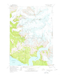
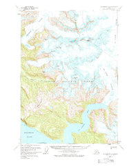
Patterson Glacier and Le Conte Glacier dominate this mid-century survey of the Alaskan coast, illustrating a massive glacial landscape within the Tongass National Forest. The topography shows the ice fields feeding into the Muddy River and Le Conte Bay, while several named summits like Church Peak, House Peak, and Thunder Mountain rise sharply from the glacial valleys. Evidence of human presence is minimal and coastal, marked by a few isolated Cabin and Cabins locations along the shoreline of Frederick Sound. This 1961 field annotation documents the drainage patterns of Bussy Creek and Jap Creek before modern environmental shifts, providing a primary record of the tidewater glacier positions and the dramatic vertical relief of the Horn Cliffs and Thunder Point.
Find a feature on this map
22 named features on this map. Tap any name to fly to it.
Don’t see what you’re looking for? This feature index may not catch every label — zoom into the map to look around manually.
Map Details
Editions of this 1961 Petersburg D-2 Map
3 editions found
Other maps of this area

1948 · Petersburg C-1
USGS Topo · 1:63,360

1948 · Petersburg C-2
USGS Topo · 1:63,360

1948 · Petersburg C-3
USGS Topo · 1:63,360

1951 · Petersburg C-2
USGS Topo · 1:63,360

1952 · Petersburg
USGS Topo · 1:250,000

1952 · Sumdum
USGS Topo · 1:250,000

1953 · Petersburg C-1
USGS Topo · 1:63,360

1953 · Petersburg C-3
USGS Topo · 1:63,360

1960 · Petersburg
USGS Topo · 1:250,000

1960 · Sumdum A-1
USGS Topo · 1:63,360