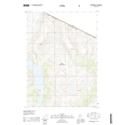
2017 Map of Petersburg D-1 SE
USGS Topo · Published 2017About this map
Shakes Glacier and the Great Glacier dominate this glaciated terrain along the international boundary between Alaska and British Columbia. This high-altitude landscape is part of the Tongass National Forest, where the heavy ice of the Stikine Icefield feeds into Shakes Lake. The map documents the precise placement of the Canada United States of America border as it cuts through the massive ice flows and high ridges of the Wrangell Borough. The topographic detail reveals the dramatic transition from active glacial faces to the proglacial waters below, capturing the state of these receding ice masses in the early 21st century. It is a vital record for understanding the remote borderlands where coastal rainforest ecosystems meet the subarctic ice cap.
Find a feature on this map
11 named features on this map. Tap any name to fly to it.
Don’t see what you’re looking for? This feature index may not catch every label — zoom into the map to look around manually.
Map Details
Editions of this 2017 Petersburg D-1 SE Map
This is the sole edition of this map. No revisions or reprints were ever made.
Other maps of this area

1948 · Petersburg C-1
USGS Topo · 1:63,360

1951 · Bradfield Canal
USGS Topo · 1:250,000

1952 · Petersburg
USGS Topo · 1:250,000

1953 · Petersburg C-1
USGS Topo · 1:63,360

1954 · Bradfield Canal
USGS Topo · 1:250,000

1955 · Bradfield canal D-6
USGS Topo · 1:63,360

1955 · Bradfield canal C-6
USGS Topo · 1:63,360

1955 · Bradfield Canal
USGS Topo · 1:250,000

1960 · Petersburg
USGS Topo · 1:250,000

1961 · Petersburg D-1
USGS Topo · 1:63,360