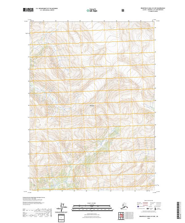
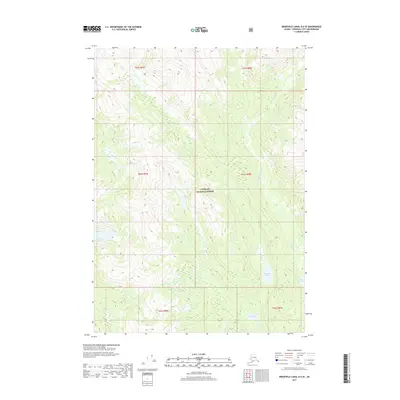
2024 Map of Bradfield Canal B-5 NW
USGS Topo · Published 2024About this map
The Harding River winds through this steep portion of Wrangell, Alaska, illustrating the high-relief topography characteristic of the state's southeastern panhandle. As a 2024 survey, this document records the contemporary state of the glaciated terrain and drainage patterns within the Tongass National Forest area. The landscape is dominated by sharp contour intervals that indicate vertical relief of several thousand feet within very short horizontal distances. The map area is primarily defined by its physical geography and federal land divisions, including townships t62s r88e, t62s r89e, t63s r88e, and t63s r89e. Without roads or developed settlements, the focus remains on the hydrography and the natural flow of the river through the deep valleys of the coastal range.
Find a feature on this map
6 named features on this map. Tap any name to fly to it.
Don’t see what you’re looking for? This feature index may not catch every label — zoom into the map to look around manually.
Map Details
Editions of this 2024 Bradfield Canal B-5 NW Map
This is the sole edition of this map. No revisions or reprints were ever made.
Other maps of this area

1951 · Bradfield Canal
USGS Topo · 1:250,000

1954 · Bradfield Canal
USGS Topo · 1:250,000

1955 · Bradfield canal B-5
USGS Topo · 1:63,360

1955 · Bradfield canal C-6
USGS Topo · 1:63,360

1955 · Bradfield canal B-6
USGS Topo · 1:63,360
1955 · Bradfield Canal C-5
USGS Topo · 1:63,360

1955 · Bradfield Canal
USGS Topo · 1:250,000
2000 · Bradfield Canal B-6
USGS Topo · 1:63,360
2017 · Bradfield Canal B-5 SW
USGS Topo · 1:25,000
2017 · Bradfield Canal B-6 SE
USGS Topo · 1:25,000