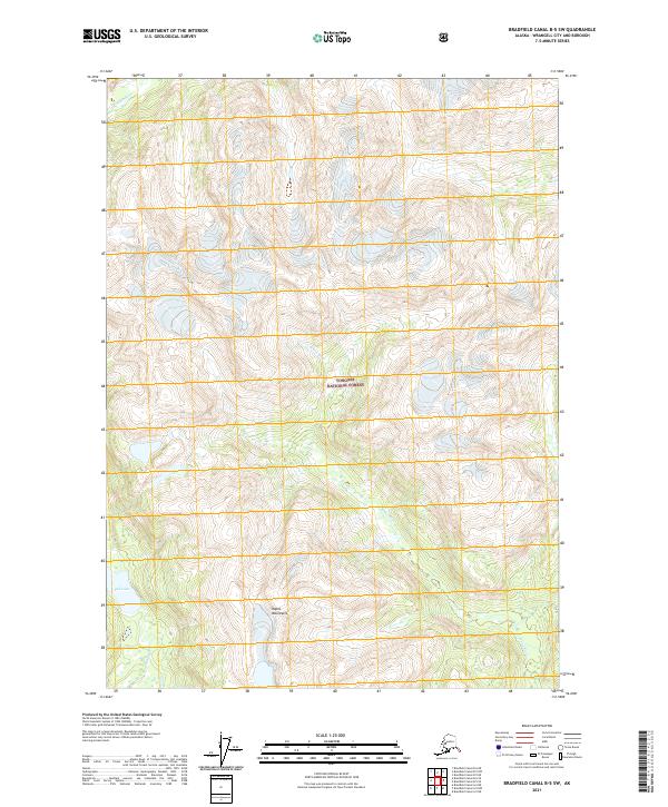
2021 Map of Bradfield Canal B-5 SW
USGS Topo · Published 2021About this map
Kapho Mountains dominate the southern landscape of this 2021 quadrangle, a testament to the steep and glaciated terrain of Southeast Alaska. This coastal wilderness is primarily defined by the drainage basins of the Harding River in the west and the White River which carves through the central and eastern reaches. Protected within the Tongass National Forest, the map reveals a land characterized by dramatic elevation changes, where high-altitude ice fields feed the systems below. Fall Lake sits at the southwestern edge of the survey, highlighting one of the few named water bodies in this largely unnamed expanse of peaks and valleys. The absence of roads or permanent settlements underscores the isolation of this region within the Wrangell-Wrangell City and Borough, where travel is dictated by river corridors and topographical passes.
Find a feature on this map
11 named features on this map. Tap any name to fly to it.
Don’t see what you’re looking for? This feature index may not catch every label — zoom into the map to look around manually.
Map Details
Editions of this 2021 Bradfield Canal B-5 SW Map
This is the sole edition of this map. No revisions or reprints were ever made.
Other maps of this area

1951 · Bradfield Canal
USGS Topo · 1:250,000

1954 · Bradfield Canal
USGS Topo · 1:250,000

1955 · Bradfield canal A-6
USGS Topo · 1:63,360

1955 · Bradfield canal B-5
USGS Topo · 1:63,360

1955 · Bradfield Canal A-5
USGS Topo · 1:63,360

1955 · Bradfield canal B-6
USGS Topo · 1:63,360

1955 · Bradfield Canal
USGS Topo · 1:250,000
2000 · Bradfield Canal B-6
USGS Topo · 1:63,360
2000 · Bradfield Canal A-6
USGS Topo · 1:63,360
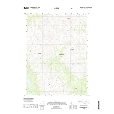
2017 · Bradfield Canal B-5 SW
USGS Topo · 1:25,000