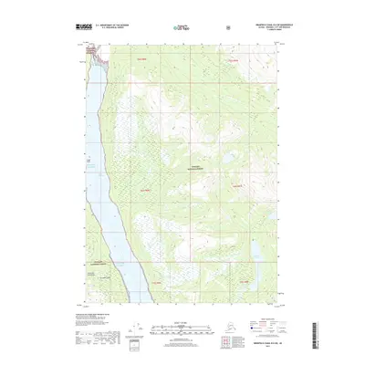
2017 Map of Bradfield Canal B-6 SW
USGS Topo · Published 2017About this map
Tongass National Forest dominates the landscape of this 2017 survey, where the saltwater corridor of Blake Channel separates the mainland from the southeastern edge of Wrangell Island. This portion of the Alexander Archipelago is defined by sharp elevation changes rising from the Gulf of Alaska to peaks over 3,000 feet. The map documents a complex system of drainage and freshwater bodies including Marten Lake, Marten Lake, and the smaller Clay Lake tucked into the eastern ridges. Notable landmarks along the coastline include Capel Point, which provides a navigational reference for the waterway. Small streams such as Oerns Cr and Marten Cr feed the larger lakes, illustrating the hydrological patterns of the coastal rainforest before the terrain transitions into the high-alpine interior.
Find a feature on this map
17 named features on this map. Tap any name to fly to it.
Don’t see what you’re looking for? This feature index may not catch every label — zoom into the map to look around manually.
Map Details
Editions of this 2017 Bradfield Canal B-6 SW Map
This is the sole edition of this map. No revisions or reprints were ever made.
Other maps of this area

1948 · Petersburg A-1
USGS Topo · 1:63,360

1948 · Petersburg B-1
USGS Topo · 1:63,360

1951 · Bradfield Canal
USGS Topo · 1:250,000

1951 · Petersburg A-1
USGS Topo · 1:63,360

1952 · Petersburg
USGS Topo · 1:250,000

1954 · Bradfield Canal
USGS Topo · 1:250,000

1955 · Bradfield canal A-6
USGS Topo · 1:63,360

1955 · Bradfield canal B-6
USGS Topo · 1:63,360

1955 · Petersburg B-1
USGS Topo · 1:63,360

1955 · Bradfield Canal
USGS Topo · 1:250,000