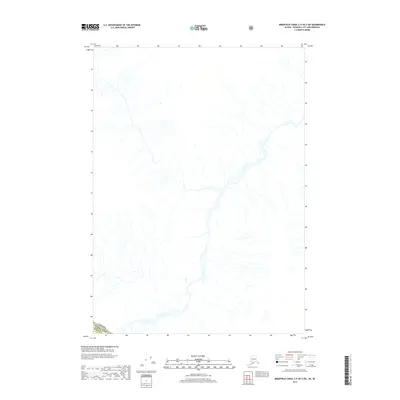
2017 Map of Bradfield Canal C-5 OE E SW
USGS Topo · Published 2017About this map
The international boundary between Canada and the Usa defines the southwestern corner of this survey, where the border meets the Wrangell Borough of Alaska. This remote landscape is characterized by a complex network of glacial drainage and mountain streams, showing the intricate hydrology of the region as it was recorded in 2017. The map provides a detailed study of natural watercourses and elevation contours in an area where political boundaries cross through uninhabited, high-altitude terrain. Because the map focuses on this specific intersection of territories, it serves as a precise reference for the geographic relationship between Alaskan coastal boroughs and the Canadian interior during the early 21st century.
Find a feature on this map
1 named feature on this map. Tap any name to fly to it.
Don’t see what you’re looking for? This feature index may not catch every label — zoom into the map to look around manually.
Map Details
Editions of this 2017 Bradfield Canal C-5 OE E SW Map
This is the sole edition of this map. No revisions or reprints were ever made.
Other maps of this area

1951 · Bradfield Canal
USGS Topo · 1:250,000

1954 · Bradfield Canal
USGS Topo · 1:250,000

1955 · Bradfield canal B-5
USGS Topo · 1:63,360

1955 · Bradfield canal B-4
USGS Topo · 1:63,360
1955 · Bradfield Canal C-5
USGS Topo · 1:63,360

1955 · Bradfield Canal
USGS Topo · 1:250,000
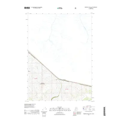
2017 · Bradfield Canal B-4 NE
USGS Topo · 1:25,000
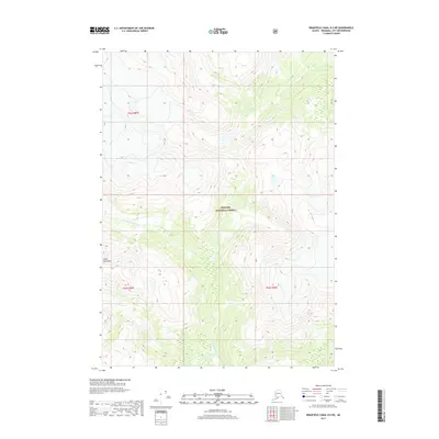
2017 · Bradfield Canal B-5 NE
USGS Topo · 1:25,000
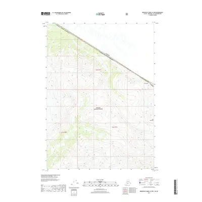
2017 · Bradfield Canal B-4 NW
USGS Topo · 1:25,000
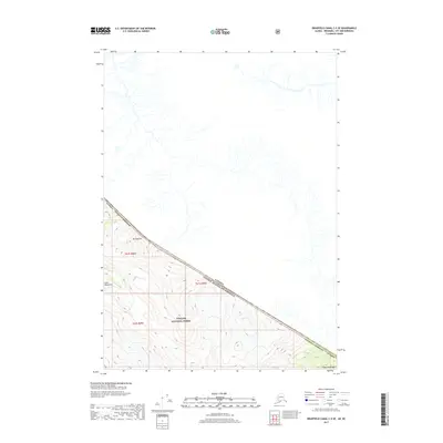
2017 · Bradfield Canal C-5 SE
USGS Topo · 1:25,000