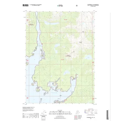
2017 Map of Petersburg A-2 SE
USGS Topo · Published 2017About this map
Etolin Island, situated in the heart of the Alexander Archipelago, is defined by its intricate shoreline and deeply recessed tidal inlets. This 2017 survey shows the dense forestation of the Tongass National Forest covering the island's steep slopes, where Navy Peak rises as a prominent landmark. The interior is dotted with significant freshwater bodies like Navy Lake and Hatchery Lake, suggesting a landscape of interconnected drainage systems feeding into the Gulf of Alaska.
Find a feature on this map
31 named features on this map. Tap any name to fly to it.
Don’t see what you’re looking for? This feature index may not catch every label — zoom into the map to look around manually.
Map Details
Editions of this 2017 Petersburg A-2 SE Map
This is the sole edition of this map. No revisions or reprints were ever made.
Other maps of this area

1948 · Petersburg A-1
USGS Topo · 1:63,360

1948 · Petersburg A-2
USGS Topo · 1:63,360

1949 · Craig D-2
USGS Topo · 1:63,360

1949 · Craig D-1
USGS Topo · 1:63,360

1951 · Craig D-2
USGS Topo · 1:63,360

1951 · Craig D-1
USGS Topo · 1:63,360

1951 · Petersburg A-1
USGS Topo · 1:63,360

1952 · Petersburg
USGS Topo · 1:250,000

1953 · Petersburg A-2
USGS Topo · 1:63,360

1957 · Craig
USGS Topo · 1:250,000