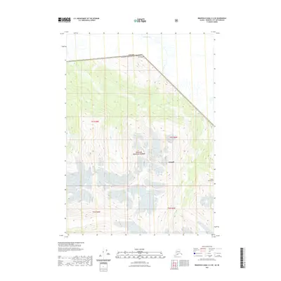
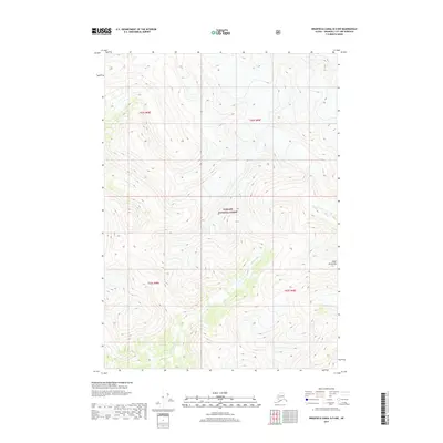
2021 Map of Bradfield Canal C-5 SW
USGS Topo · Published 2021About this map
Mt Whipple anchors the northern boundary of this high-latitude survey, marking the international border where the Canada and United States of America divide is established. This landscape is defined by the steep elevation changes of the Coast Mountains, where glacial runoff feeds into the Katete River as it winds through the wilderness. Much of the southern and central terrain is protected as part of the Tongass National Forest, within the administrative limits of Wrangell. The map illustrates the complex drainage patterns typical of this maritime forest environment, including Whipple Cr and numerous unnamed tributaries that carve through the high ridgelines.
Find a feature on this map
11 named features on this map. Tap any name to fly to it.
Don’t see what you’re looking for? This feature index may not catch every label — zoom into the map to look around manually.
Map Details
Editions of this 2021 Bradfield Canal C-5 SW Map
This is the sole edition of this map. No revisions or reprints were ever made.
Other maps of this area

1951 · Bradfield Canal
USGS Topo · 1:250,000

1954 · Bradfield Canal
USGS Topo · 1:250,000

1955 · Bradfield canal B-5
USGS Topo · 1:63,360

1955 · Bradfield canal C-6
USGS Topo · 1:63,360

1955 · Bradfield canal B-6
USGS Topo · 1:63,360
1955 · Bradfield Canal C-5
USGS Topo · 1:63,360

1955 · Bradfield Canal
USGS Topo · 1:250,000
2000 · Bradfield Canal B-6
USGS Topo · 1:63,360
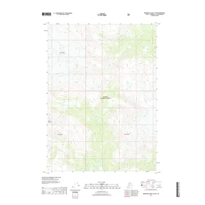
2017 · Bradfield Canal B-5 NE
USGS Topo · 1:25,000
2017 · Bradfield Canal B-5 NW
USGS Topo · 1:25,000