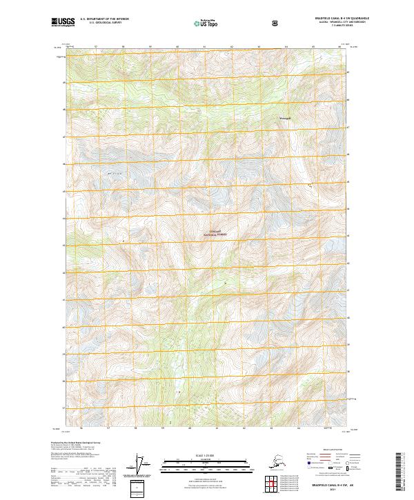
2021 Map of Bradfield Canal B-4 SW
USGS Topo · Published 2021About this map
Tongass National Forest dominates this Alaskan landscape, where the high-altitude terrain of the Wrangell City and Borough is meticulously detailed. At the heart of this survey is Mt Cloud, a significant peak that defines the verticality of the region. The map provides a precise look at the land division system, noting several townships and ranges including t64s r90e, t64s r91e, and t63s r91e. This data, updated through 2021, reflects the complex topography of southeastern Alaska without the presence of modern road infrastructure, focusing instead on the natural features and jurisdictional boundaries that characterize this remote coastal wilderness.
Find a feature on this map
9 named features on this map. Tap any name to fly to it.
Don’t see what you’re looking for? This feature index may not catch every label — zoom into the map to look around manually.
Map Details
Editions of this 2021 Bradfield Canal B-4 SW Map
This is the sole edition of this map. No revisions or reprints were ever made.
Other maps of this area

1951 · Bradfield Canal
USGS Topo · 1:250,000

1954 · Bradfield Canal
USGS Topo · 1:250,000

1955 · Bradfield canal A-4
USGS Topo · 1:63,360

1955 · Bradfield canal B-5
USGS Topo · 1:63,360

1955 · Bradfield canal B-4
USGS Topo · 1:63,360

1955 · Bradfield Canal A-5
USGS Topo · 1:63,360

1955 · Bradfield Canal
USGS Topo · 1:250,000
1995 · Bradfield Canal A-4
USGS Topo · 1:63,360
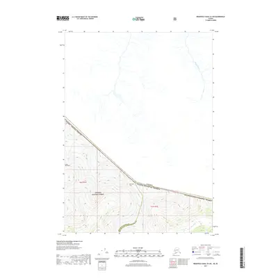
2017 · Bradfield Canal B-4 NE
USGS Topo · 1:25,000
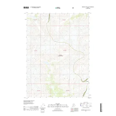
2017 · Bradfield Canal B-4 SE
USGS Topo · 1:25,000