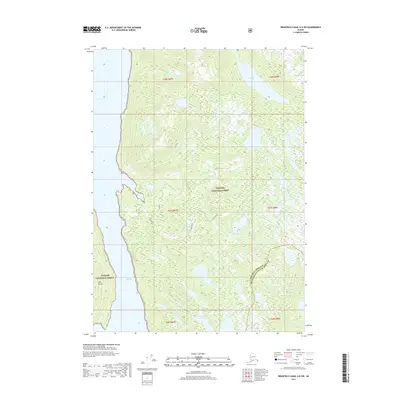
2017 Map of Bradfield Canal A-6 SW
USGS Topo · Published 2017About this map
Tongass National Forest dominates this coastal Alaska landscape, which is defined by its complex network of glacial waterways and rugged island topography. The map illustrates the maritime interface at Seward Passage, separating the mainland from the prominent Deer Island. Inland, the terrain is punctuated by small, isolated water bodies like Golden Pond and Standing Rock Lake, indicating a wilderness shaped by high-elevation drainage and heavy precipitation. Several freshwater systems, including Anan Cr, Frosty Cr, and Walker Cr, provide natural conduits through the dense forest toward Frosty Bay and the coastal shoreline. The boundary line for the Wrangell Borough Ketchikan Gateway Borough runs through the southeastern quadrant, marking the administrative division within this remote environment.
Find a feature on this map
17 named features on this map. Tap any name to fly to it.
Don’t see what you’re looking for? This feature index may not catch every label — zoom into the map to look around manually.
Map Details
Editions of this 2017 Bradfield Canal A-6 SW Map
This is the sole edition of this map. No revisions or reprints were ever made.
Other maps of this area

1948 · Petersburg A-1
USGS Topo · 1:63,360

1949 · Craig D-1
USGS Topo · 1:63,360

1951 · Bradfield Canal
USGS Topo · 1:250,000

1951 · Craig D-1
USGS Topo · 1:63,360

1951 · Petersburg A-1
USGS Topo · 1:63,360

1952 · Petersburg
USGS Topo · 1:250,000

1952 · Ketchikan
USGS Topo · 1:250,000

1952 · Ketchikan D-6
USGS Topo · 1:63,360

1953 · Ketchikan D-6
USGS Topo · 1:63,360

1954 · Bradfield Canal
USGS Topo · 1:250,000