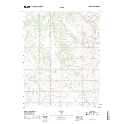
2023 Map of Bradford Canyon
USGS Topo · Published 2023About this map
Mustang Mesa and the elevated Alkali Point define the high tablelands of this San Juan County landscape, where deep drainage systems have carved an intricate network of sandstone breaks. The hydrology is dominated by the seasonal flows of Alkali Creek and Montezuma Creek, which are fed by numerous side canyons including Devil Canyon, Horse Canyon, and Bradford Canyon. The map reveals a high-desert environment utilized for ranching and resource access, indicated by the presence of Alkali Windmill Rd and Bullpen Swale. A complex web of backcountry routes, such as Around The World Rd and Dead Man Canyon Rd, provides passage through the breaks. This modern survey by the U.S. Geological Survey details the contemporary road network and topographical changes across the canyons and mesas of southeastern Utah.
Find a feature on this map
21 named features on this map. Tap any name to fly to it.
Don’t see what you’re looking for? This feature index may not catch every label — zoom into the map to look around manually.
Map Details
Editions of this 2023 Bradford Canyon Map
This is the sole edition of this map. No revisions or reprints were ever made.
Other maps of this area

1886 · Abajo
USGS Topo · 1:250,000

1892 · Abajo
USGS Topo · 1:250,000

1893 · Abajo
USGS Topo · 1:250,000

1955 · Verdure 4 NW
USGS Topo · 1:24,000

1955 · Verdure 3 SE
USGS Topo · 1:24,000

1955 · Verdure 4 SW
USGS Topo · 1:24,000

1955 · Verdure 3 NE
USGS Topo · 1:24,000

1956 · Cortez
USGS Topo · 1:250,000

1957 · Aneth 1 NW
USGS Topo · 1:24,000

1957 · Monument Canyon
USGS Topo · 1:62,500