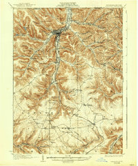
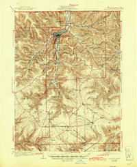
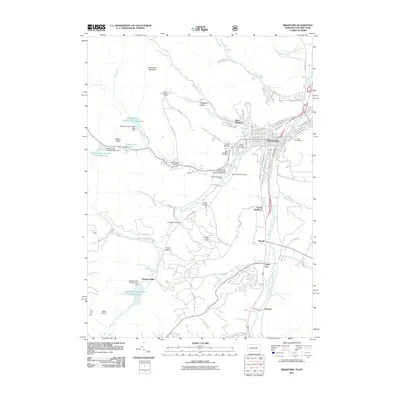
1926 Map of Bradford
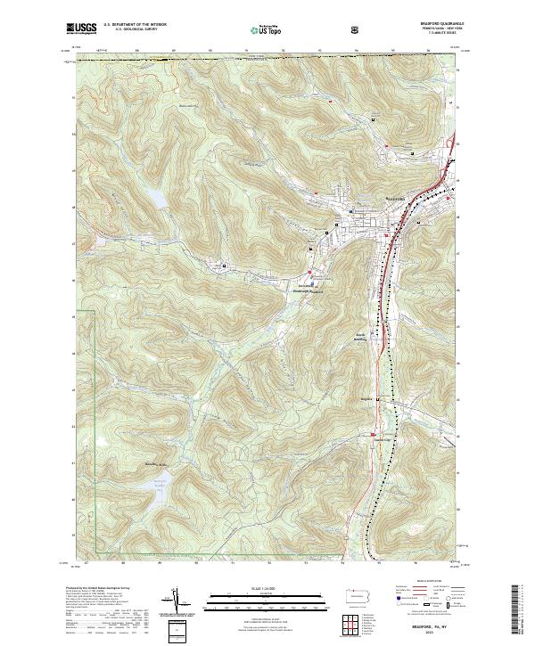
USGS Topo · Published 1938About this map
Bradford serves as the industrial heart of this McKean County landscape, where the confluence of Tuna Creek and Foster Brook defines the urban core. The map reveals an intricate late industrial network of the 1920s, characterized by numerous small settlements and specialized industrial sites such as the Nusbaum Chemical Plant and Hazelton Mills. The transport infrastructure is particularly dense, featuring the Erie Railroad and the Pennsylvania Railroad, which snake through the narrow valleys and hollows. One of the most significant engineering landmarks of the era, the Kinzua Viaduct, spans the heights in the southern portion of the quadrangle near Kinzua Creek. From the scattered schools like Songbird School to small post offices such as Simpson Cyclone P.O., the map preserves the fine-grained geography of Pennsylvania’s oil and timber country during a period of peak rail connectivity.
Find a feature on this map
112 named features on this map. Tap any name to fly to it.
Don’t see what you’re looking for? This feature index may not catch every label — zoom into the map to look around manually.
Map Details
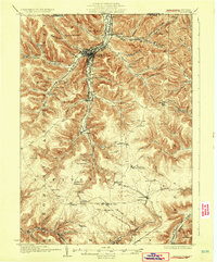
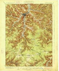
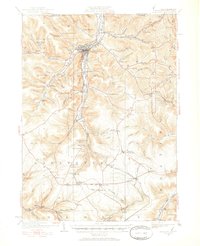
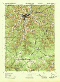
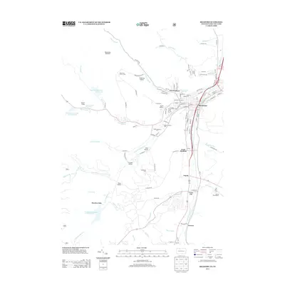
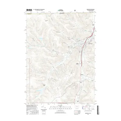
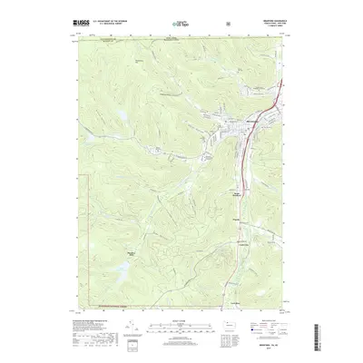
Editions of this 1926 Bradford Map
4 editions found
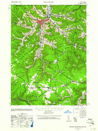
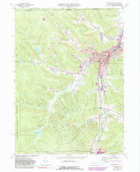
Historical Maps of Bradford Through Time
11 maps found
1924 Bradford
McKean County, PA
1926 Bradford
McKean County, PA
1941 Bradford
McKean County, PA
1944 Bradford
McKean County, PA
1969 Bradford
McKean County, PA

1980 Bradford
McKean County, PA
2011 Bradford
McKean County, PA
2013 Bradford
McKean County, PA
2016 Bradford
McKean County, PA
2019 Bradford
McKean County, PA
2023 Bradford
McKean County, PA