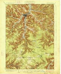
1926 Map of Bradford
USGS Topo · Published 1926About this map
Bradford serves as the industrial and transportation nexus for this region of northern Pennsylvania, where the Erie Railroad and Pennsylvania Railroad converge amidst a dense network of timbered valleys. The landscape is defined by its early 20th-century extraction and manufacturing infrastructure, evidenced by the Nusbaum Chemical Plant and the engineering marvel of the Kinzua Viaduct spanning the southern reaches. Numerous small oil-and-timber era settlements like Derrick City, Lewis Run, and Custer City are connected by a web of mountain roads and smaller rail lines, including the Mt Jewett Kinzua and Riterville RR.
Find a feature on this map
112 named features on this map. Tap any name to fly to it.
Don’t see what you’re looking for? This feature index may not catch every label — zoom into the map to look around manually.
Map Details
Editions of this 1926 Bradford Map
4 editions found
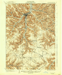
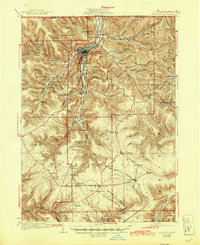
Other maps of this area

1898 · Olean
USGS Topo · 1:62,500

1900 · Salamanca
USGS Topo · 1:62,500

1922 · Randolph
USGS Topo · 1:62,500

1923 · Randolph
USGS Topo · 1:62,500

1924 · Bradford
USGS Topo · 1:62,500

1926 · Bradford
USGS Topo · 1:62,500

1933 · Smethport
USGS Topo · 1:62,500

1934 · Kane
USGS Topo · 1:48,000

1935 · Mt. Jewett
USGS Topo · 1:48,000

1936 · Kinzua
USGS Topo · 1:48,000