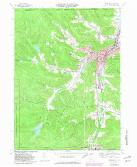
1969 Map of Bradford
USGS Topo · Published 1981About this map
The industrial and civic hub of Bradford anchors this McKean County landscape, where the confluence of Tunungwant Creek and Bolivar Run shaped the development of northern Pennsylvania. The late 1960s urban footprint is densely detailed, featuring City Hall, the Univ of Pittsburgh at Bradford, and the Central Christian High Sch. Beyond the city limits, the map documents the critical infrastructure of the era, from the network of Oil Wells scattered across the hillsides to the sprawling Sewage Disposal and Radio Tower sites.
Find a feature on this map
58 named features on this map. Tap any name to fly to it.
Don’t see what you’re looking for? This feature index may not catch every label — zoom into the map to look around manually.
Map Details
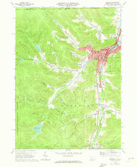
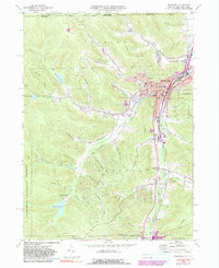
Editions of this 1969 Bradford Map
3 editions found
Other maps of this area

1900 · Salamanca
USGS Topo · 1:62,500

1922 · Randolph
USGS Topo · 1:62,500

1923 · Randolph
USGS Topo · 1:62,500

1924 · Bradford
USGS Topo · 1:62,500

1926 · Bradford
USGS Topo · 1:62,500

1936 · Kinzua
USGS Topo · 1:48,000

1938 · Salamanca
USGS Topo · 1:62,500

1941 · Kinzua
USGS Topo · 1:62,500

1941 · Bradford
USGS Topo · 1:62,500

1943 · Randolph
USGS Topo · 1:62,500