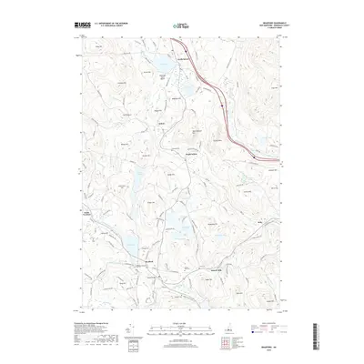
2018 Map of Bradford
USGS Topo · Published 2018About this map
Bradford and the three distinct Sutton villages define this pocket of Merrimack County, where the Warner River and its various branches drain a landscape of prominent hills and small ponds. The drainage of the W Br Warner River and Andrews Brook feeds into Todd Lake, providing the central focus for the settlement at Bradford. In the northern section, Kezar Lake and Wadleigh State Beach sit near North Sutton, while the southern reaches are marked by the small communities of Melvin Mills and Roby. This modern survey reveals a highly developed network of family-named hills like Burpee Hill, Dodge Hill, and Nelson Hill, reflecting a long history of upland settlement. Genealogists will find several burial grounds noted, including Sunny Plain Cem and Millwoods Cem, along with the small crossing at Bemet Bridge.
Find a feature on this map
138 named features on this map. Tap any name to fly to it.
Don’t see what you’re looking for? This feature index may not catch every label — zoom into the map to look around manually.
Map Details
Editions of this 2018 Bradford Map
This is the sole edition of this map. No revisions or reprints were ever made.
Other maps of this area

1902 · Sunapee
USGS Topo · 1:62,500

1905 · Sunapee
USGS Topo · 1:62,500

1907 · Sunapee
USGS Topo · 1:62,500

1926 · Hillsboro
USGS Topo · 1:62,500

1928 · Mount Kearsarge
USGS Topo · 1:62,500

1929 · Hillsboro
USGS Topo · 1:62,500

1930 · Lovewell Mountain
USGS Topo · 1:62,500

1931 · Mount Kearsarge
USGS Topo · 1:62,500

1942 · Lovewell Mountain
USGS Topo · 1:62,500

1949 · Portland
USGS Topo · 1:250,000